Čepinci (cemetery Čepinci) - Border stone A 115
Starting point: Čepinci (cemetery Čepinci) (318 m)
Starting point Lat/Lon: 46.85703°N 16.21855°E 
Time of walking: 1 h
Difficulty: easy unmarked way
Difficulty of skiing: no data
Altitude difference: 35 m
Altitude difference (by path): 75 m
Map: Pomurje 1:40.000
Access to starting point:
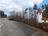
From the road Murska Sobota - Hodoš, in the settlement Šalovci in front of a gas station Ina, we turn left in the direction of Čepinci and Markovci. Further, we drive through Markovci to Čepinci, from where we follow the signs for Hungary. When we get to the parking lot at the smaller cemetery, by which there is a larger chapel, we park.
Path description:
From the parking lot, we continue the ascent on the asphalt road which quickly ascends on a panoramic ridge, andthen the path leads us past individual houses. Next follows few shorter ascents and descents, and a little before the border crossing, a short path branches off to the left towards Border museum, and we continue all the way to the border crossing Čepinci.
Only few steps before the national border we turn right on a macadam road which on the left side bypasses the nearby house and about a minute ahead brings us to a crossroad at the hunting observatory.
Here we go left and we continue on a cart track which runs on national border between Slovenia and Hungary. This path which continues with some shorter ascents and descents, we follow all the way to the border stone A 115.
During the ban on crossing the national border, we stick to Slovenian side of the path, and where we need to, we also go few steps away from the path.
Description and pictures refer to a condition in March 2021.
Pictures:
 1
1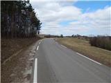 2
2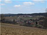 3
3 4
4 5
5 6
6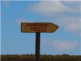 7
7 8
8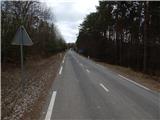 9
9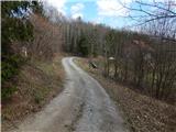 10
10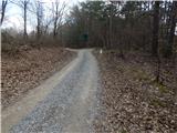 11
11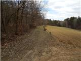 12
12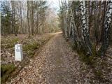 13
13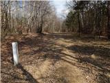 14
14 15
15 16
16 17
17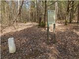 18
18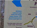 19
19