Ciganija - Uršlja gora (Plešivec) (winter way)
Starting point: Ciganija (1115 m)
Starting point Lat/Lon: 46.4532°N 14.9571°E 
Path name: winter way
Time of walking: 2 h 30 min
Difficulty: easy marked way
Difficulty of skiing: easily
Altitude difference: 584 m
Altitude difference (by path): 685 m
Map: Kamniške in Savinjske Alpe 1:50.000
Access to starting point:
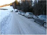
A) First, we drive to Šoštanj (to here from Velenje or valley of Savinjska dolina), and then we continue driving towards Črna na Koroškem. Further, the road starts ascending towards the mountain pass Spodnje Sleme (1081 meters), which after few kilometers of winding road we also reach. Here the road branches off to the left towards the mountain hut Andrejev dom na Slemenu, and we continue driving towards Črna na Koroškem. From the mountain pass ahead we drive few 100 meters more, and then signs for Uršlja gora point us to the right on an ascending road which only a little higher loses an asphalt covering. We continue on a wider macadam road (road is in the winter time usually cleared of snow and gritted), and we follow it approximately 1500 meters, or to a crossroad, where a worse macadam road branches off to the right towards Križan and Uršlja gora (by the crossroad there are numerous signposts and a cross). We park on an appropriate place by the road.
B) First, we drive to Črna na Koroškem, and from there we continue driving towards Šoštanj and Velenje. Still before we get to mountain pass Spodnje Sleme, signs for Uršlja gora point us sharply left on ascending and further wider macadam road (turn-off from the main road is located few 100 meters before the mentioned mountain pass, and above the crossroad we also notice a bigger chapel). We continue on a wider macadam road (road is in the winter time usually cleared of snow and gritted), and we follow it approximately 1500 meters, or to a crossroad, where a worse macadam road branches off to the right towards Križan and Uršlja gora (by the crossroad there are numerous signposts and a cross). We park on an appropriate place by the road.
Path description:
From the parking lot, we continue on the right road in the direction of Uršlja gora and Naravske ledine. The road goes immediately in the forest, where then without large changes in altitude continues to the saddle between Kotnikov and Kavnikov vrh. We still continue in the direction of Uršlja gora on the road which from here ahead starts steeply descending. The road then flattens and after approximately 45 minutes of walking from the starting point brings us to a little bigger crossroad at the farm Križan.
We continue straight upwards on a footpath in the direction of Uršlja gora (left further on the road Naravske ledine). The path ahead ascends through a lane of a forest after which we come on an ample and panoramic grassy slopes on which past the chapel we ascend to the road which leads on Uršlja gora.
The mentioned road, we only cross because marked path leads in the forest. The path ahead starts ascending steeper and after few minutes of additional walking brings us to a crossing, where we continue right in the direction of winter path (slightly left normal path). The path then quickly brings us on a cart track on which in a diagonal ascent we ascend to the road which leads on Uršlja gora. We reach the road right on the spot, where there is a summer parking lot. We continue the ascent past the gate, on the road which is relatively steeply ascending at first through the forest. This road from which increasingly beautiful views opening up we then follow to the mountain hut on Uršlja gora.
From the hut, we continue past the church on a pleasant footpath which after good 5 minutes of additional walking brings us on a panoramic peak on which stands a big cross.
Pictures:
 1
1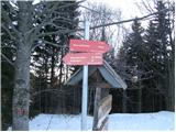 2
2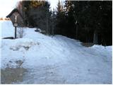 3
3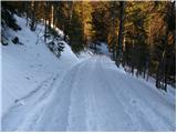 4
4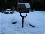 5
5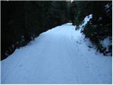 6
6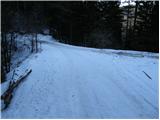 7
7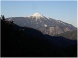 8
8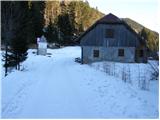 9
9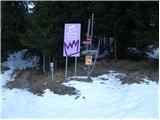 10
10 11
11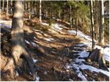 12
12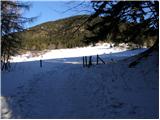 13
13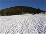 14
14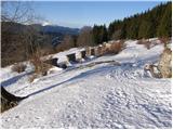 15
15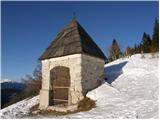 16
16 17
17 18
18 19
19 20
20 21
21 22
22 23
23 24
24 25
25 26
26 27
27 28
28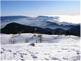 29
29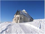 30
30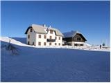 31
31 32
32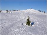 33
33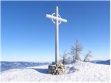 34
34