Concentration camp - Lokovnikov Grintovec / Grintoutz
Starting point: Concentration camp (1000 m)
Starting point Lat/Lon: 46.4334°N 14.2707°E 
Time of walking: 2 h 40 min
Difficulty: easy unmarked way, partly demanding marked way
Difficulty of skiing: no data
Altitude difference: 809 m
Altitude difference (by path): 855 m
Map: Karavanke - osrednji del 1:50.000
Access to starting point:
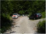
From highway Ljubljana - Jesenice, at the junction Podtabor we continue in the direction of Ljubelj and Tržič. We continue driving on a regional road in the direction of Ljubelj. At the last left turn on the Slovenian side, which is located approximately 500 meters after concentration camp, we turn right on a macadam road which we follow a little less than 100 meters to a little larger macadam parking lot.
Path description:
From the parking lot, we continue on a worse macadam road which already after few minutes ends by the nearby torrent. Here signs for mountain pasture Korošica point us to the right on a well maintained old border guard or hunting path. We continue the ascent in numerous zig-zags on a footpath which is relatively steeply ascending through the forest. Higher, we get to a viewpoint, and the path there turns to the left and it is then for some time moderately to steeply ascending. Higher, we step on a cart track, and we follow it only few 10 meters, after that at a smaller crossing we leave it and we continue straight. The path immediately returns into the forest, and we are then ascending on a pleasant forest footpath which a little further brings us to a smaller crossing, where worse beaten footpath branches off to the left, and we continue sharply right. The path then flattens and out of the forest it brings us on grazing slopes. The path ahead continues by crossing the slopes towards the right and a little further brings us to a marked crossing.
We continue sharply left (right mountain pasture Korošica 10 minutes) in the direction of Koča na Ljubelju. The path ahead short time crosses slopes towards the left and then it moderately ascends and in few minutes of additional walking brings us on the border ridge, where from the left joins the path from the mountain hut Koča na Ljubelju.
We continue right and after a shorter gentle ascent we get to a marked crossing, where we continue left over the fence following the signs Hainschgraben / Hajnžev graben.
On Austrian side on a marked path we at first slightly descend, and then the path turns to the right and it crosses the fence.
We continue towards the east on a footpath which runs below the ridge of Košutica and it brings us on a saddle Dovjakovo sedlo. On a grassy saddle, which is situated between Košutica and Lokovnikov Grintovec we continue left on the ridge by the fence upwards. At first the path runs for a short time through the forest and then we cross the fence and we start ascending through dwarf pines. Poorly beaten and a little overgrown path then most of the time runs by the ridge through dwarf pines and soon it brings us on a panoramic peak.
On the way: Dovjakovo sedlo (1728m)
Pictures:
 1
1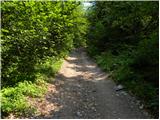 2
2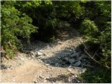 3
3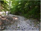 4
4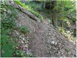 5
5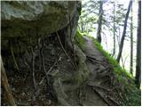 6
6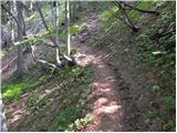 7
7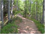 8
8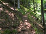 9
9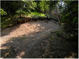 10
10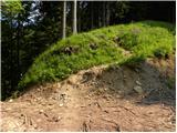 11
11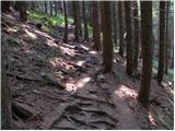 12
12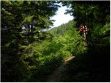 13
13 14
14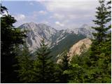 15
15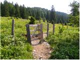 16
16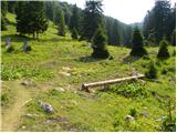 17
17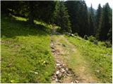 18
18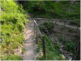 19
19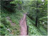 20
20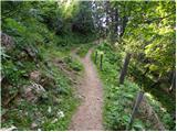 21
21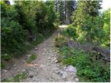 22
22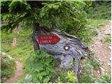 23
23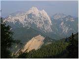 24
24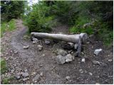 25
25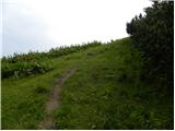 26
26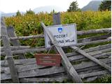 27
27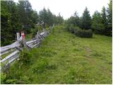 28
28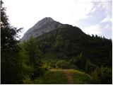 29
29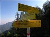 30
30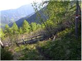 31
31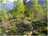 32
32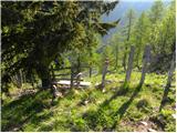 33
33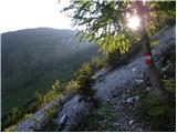 34
34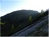 35
35 36
36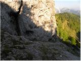 37
37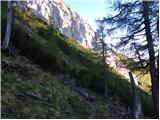 38
38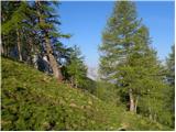 39
39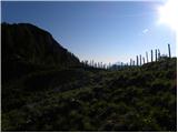 40
40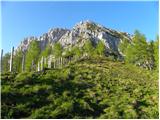 41
41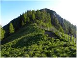 42
42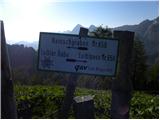 43
43 44
44 45
45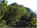 46
46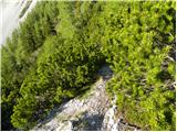 47
47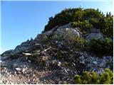 48
48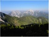 49
49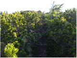 50
50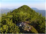 51
51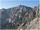 52
52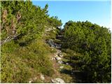 53
53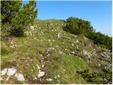 54
54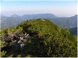 55
55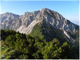 56
56