Starting point: Črne njive (610 m)
Starting point Lat/Lon: 45.5724°N 14.2575°E 
Time of walking: 40 min
Difficulty: easy marked way
Difficulty of skiing: no data
Altitude difference: 189 m
Altitude difference (by path): 189 m
Map: Snežnik 1:50.000
Access to starting point:
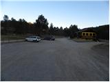
From the highway Ljubljana - Koper we go to the exit Postojna and follow the road ahead in the direction of Reka and Ilirska Bistrica. In Ilirska Bistrica the road towards Sviščaki branches off sharply to the left. We continue driving towards Sviščaki, but we follow it only just under 3 km, or more precisely to Črne njive, where we park on a large parking lot near the snack bar Črne njive.
Path description:
From the parking lot on Črne njive, we walk to the road which leads towards Sviščaki and continue the ascent there. The road, which is moderately ascending, leads us through the forest, and after a good 10 minutes of walking it brings us to the left turn, at the beginning of which a marked footpath which leads to Ahac branches off to the right. We continue on the marked path, which gently ascends through the forest and bushes. A little higher on the right side we bypass a small cottage, and the path a little above it joins a relatively fresh tractor track. There follow a few successive junctions, where we carefully follow the blazes (be careful not to get misled by signs for Smolarjevo pot). A bit higher, a marked but unmarked path from the village Jasen joins us from the right. Here we also continue straight and then follow the somewhat steeper path to the nearby peak Ahac, which we reach after 5 minutes of additional walking.
Pictures:
 1
1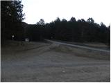 2
2 3
3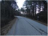 4
4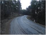 5
5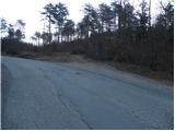 6
6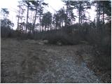 7
7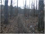 8
8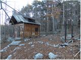 9
9 10
10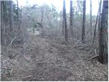 11
11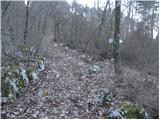 12
12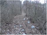 13
13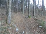 14
14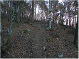 15
15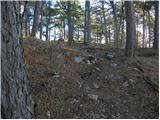 16
16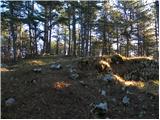 17
17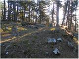 18
18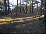 19
19 20
20