D station - Velika Črnelska špica
Starting point: D station (2202 m)
Starting point Lat/Lon: 46.3326°N 13.5384°E 
Time of walking: 3 h
Difficulty: difficult marked way
Difficulty of skiing: demanding
Altitude difference: 130 m
Altitude difference (by path): 650 m
Map: Julijske Alpe - zahodni del 1:50.000
Access to starting point:
A) First, we drive to Kranjska Gora, and then we continue driving through the mountain pass Vršič or over Italy and then through the mountain pass Predel towards Bovec. When we get to Bovec on bypass road we drive past center, and then on the other side of the settlement right towards the nearby gas station. At the gas station, we turn left and we ascend to the nearby parking lot by the bottom station of the cable car on Kanin. Then we buy a ticket and go with a cableway to D station on Kanin.
B) First, we drive to Tolmin, and then we continue driving towards Bovec. At the beginning Bovec we leave the main road and we continue driving straight towards the center of the settlement. Towards center we drive only few 10 meters and then at the gas station, we turn sharply left on an ascending road, on which we quickly get to the parking lot by the bottom station of the cable car. Then we buy a ticket and go with a cableway to D station on Kanin.
Path description:
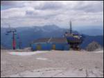
From D station at first in a gentle ascent, we walk to the near bottom station of four-seater chairlift Prevala, and from there we continue right in the direction of Prestreljenik and Rombon. The path ahead leads us by the four-seater chairlift and is ascending by the edge of the ski track. Higher, we get to a saddle Sedlo, where there is a midway station of four-seater chairlift Prevala and where on the left is a turn-off of the path on Prestreljenik (2499 meters).
From the saddle Sedlo, we short time continue on a ski track, which is descending towards the saddle Prevala, and then we continue slightly left on a marked footpath which continues on the left side of ski track (possible is also to continue on a ski track). The path which is then moderately to occasionally steeply descending, leads us past some large abysses, after that for some time flattens. Further, the path turns a little to the left and gradually passes on steeper slopes, which are on some spots slightly exposed. Lower, the path turns sharply to the right and with the help of a steel cable descends to a crossing on the saddle Prevala.
From Prevala, on which there is a crossing of five paths we continue straight or slightly right in the direction of Rombon. We continue towards the east on the path which gradually passes on slopes of Lopa (2406 meters), and in few ascents and descents, we follow it to a smaller saddle between Lopa and Kotel (1881 meters). Here the path turns slightly to the left and continues by numerous abysses, which are typical for Kanin mountain chain. The path ahead quickly brings us to a crossing, where the path on Velika Črnelska špica branches off to the left (2332 meters).
We continue by following the signs for »Črnjela« (straight Rombon 2208 meters and speleological bivouac) on the path which starts ascending below the slopes of Velika Črnelska špica. The path then crosses slopes towards the right and is getting closer to the summit of Mala Črnelska špica, before which marked path turns to the left and starts ascending even steeper. Next follows approximately 15 minutes of ascent on a steep and on some spots also exposed slope (there is also a great risk of triggering stones), and then the path flattens and in few steps, it brings us to the summit of Velika Črnelska špica.
On the way: Sedlo (2282m), Prevala (2067m)
Pictures:
 1
1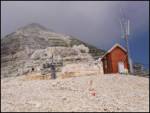 2
2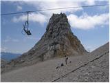 3
3 4
4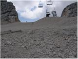 5
5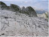 6
6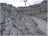 7
7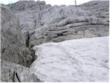 8
8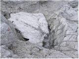 9
9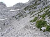 10
10 11
11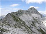 12
12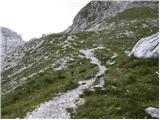 13
13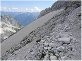 14
14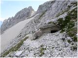 15
15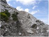 16
16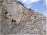 17
17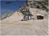 18
18 19
19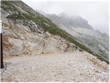 20
20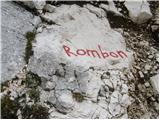 21
21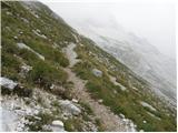 22
22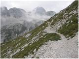 23
23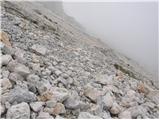 24
24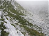 25
25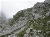 26
26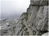 27
27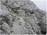 28
28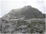 29
29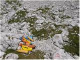 30
30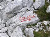 31
31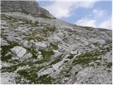 32
32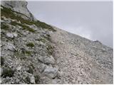 33
33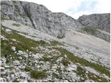 34
34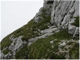 35
35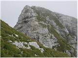 36
36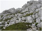 37
37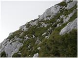 38
38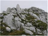 39
39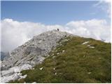 40
40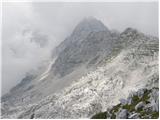 41
41