Starting point: Dol (850 m)
Starting point Lat/Lon: 46.3826°N 14.4445°E 
Time of walking: 1 h 40 min
Difficulty: easy unmarked way
Difficulty of skiing: easily
Altitude difference: 656 m
Altitude difference (by path): 656 m
Map: Karavanke - osrednji del 1:50.000
Access to starting point:
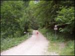
From highway Ljubljana - Jesenice we go to the exit Kranj - east and we follow the road ahead in the direction of Jezersko, but only to the inn Kanonir, where we turn left. We further follow at first still asphalt road but only to approximately 2km distant crossroad, where the road branches off to the right on Stegovnik. We go on this road which we follow few 100 meters to a gate, where we park on a smaller parking lot.
Path description:
From the gate we follow the forest road which after approximately 20 minutes brings us to a crossroad. We go right and we follow the road also to a bigger grassy clearing on which stands a house. Here we go straight on a footpath following the signs Stegovnik (left Stegovnik through the window, unmarked path). The path ascends a little and it brings us to a cart track. Here we carefully look for blazes and we have to be careful, that the cart track doesn't mislead us. After that, the path few more times crosses a cart track and it brings us on a saddle Močnikovo sedlo together with the cart track.
Here we leave the marked path on Stegovnik and we go right by ridge of Bukovec. We will notice a very badly beaten and in the initial part also badly visible footpath. If we don't find the footpath, we stick to the ridge. The path higher through the forest brings us on the ridge which we by a wire follow towards the summit. In the upper part there are a lot of fallen trees, therefore we will have to climb a little or avoiding them in unnecessary bends. A little below the summit, the ridge narrows and the forest becomes thinner. The last meters below the summit run on very high grass. When we step on the summit a beautiful view opens up.
A walk on pathless terrain lasts good 30 minutes.
The orientation in spite of a bad footpath isn't hard because the path larger part runs on the ridge.
On the way: Močnikovo sedlo (1315m)
Pictures:
 1
1 2
2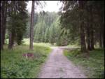 3
3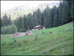 4
4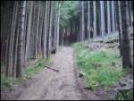 5
5 6
6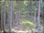 7
7 8
8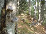 9
9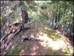 10
10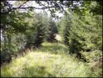 11
11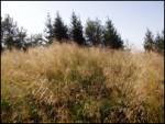 12
12