Dolnji Slaveči (avtobusna postaja Mlin) - Planinska koča Rak
Starting point: Dolnji Slaveči (avtobusna postaja Mlin) (245 m)
| Latitude/Longitude: | 46,80363°N 16,06992°E |
| |
Walking time: 45 min
Difficulty: easy marked way
Elevation gain: 45 m
Elevation difference along the route: 45 m
Map: Pomurje 1:40.000
Recommended equipment (summer):
Recommended equipment (winter):
Views: 528
 | 1 person like this post |
Access to starting point:
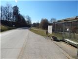
We drive to Radenci, then continue driving towards Gederovci and Kuzma. From the roundabout in Gederovci we continue in the direction of Kuzma, after the settlement Pertoča we go right towards Grad. From the crossroad at the settlement Motovilci we go left in the direction of Tromejnik (right - Motovilci) and soon arrive in Dolnji Slaveči, where we drive along the road to the bus stop Dolnji Slaveči Mlin, where the described path begins. We recognize the bus stop Dolnji Slaveči Mlin by the fact that there are red hiking signposts nearby. At the starting point there are no arranged parking spaces.
Route description:
From the bus stop, we head onto the side road that continues towards the west, at the intersection there are signs for the cemetery. A short gentle descent and crossing of the stream Lukaj follow, then we arrive at a marked junction, where we go right in the direction of Planinska koča Rak (straight Rogašovci). The path ahead leads us on the flat, where we walk on a macadam road. After a few minutes, the road forks, we continue right, at the next fork we continue left (straight cart track, which continues between the fields). A gentle ascent follows towards the nearby homestead, from where we continue straight on the cart track that takes us into the forest. In the forest the markings, which were rare until now, become more frequent, and we ascend on a moderately steep cart track, which higher brings us out of the forest, where along the field we reach an asphalt road and follow it to the right.
The road quickly brings us to a junction, where from the left the path from Rogašovci or. Sv. Jurij joins, a few steps ahead from the intersection we continue right downhill. During the descent along the road ahead of us we see the nearby cemetery, and before the cemetery parking lot we turn left onto the marked path that continues through the forest. We quickly leave the forest, then continue along the cart track that leads us between the fields. A pleasant cart track with nice views brings us to Planinska koča Rak in a few minutes.
Description and pictures refer to the condition in March 2021.

Photos:
 1
1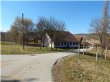 2
2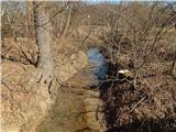 3
3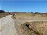 4
4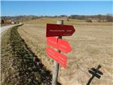 5
5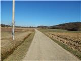 6
6 7
7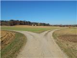 8
8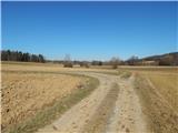 9
9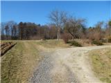 10
10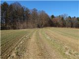 11
11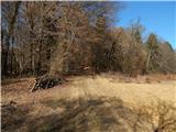 12
12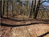 13
13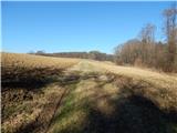 14
14 15
15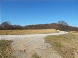 16
16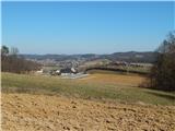 17
17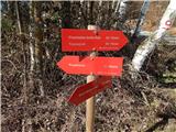 18
18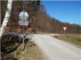 19
19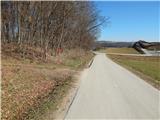 20
20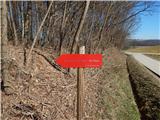 21
21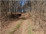 22
22 23
23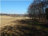 24
24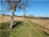 25
25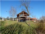 26
26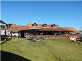 27
27
Discussion about the trip Dolnji Slaveči (avtobusna postaja Mlin) - Planinska koča Rak
To post a comment you must log in:
If you do not yet have a username, you must first
register.