Dom na Osankarici - Sveti Trije kralji
Starting point: Dom na Osankarici (1193 m)
Starting point Lat/Lon: 46.449°N 15.4196°E 
Time of walking: 1 h 5 min
Difficulty: easy marked way
Difficulty of skiing: easily
Altitude difference: -12 m
Altitude difference (by path): 115 m
Map: Pohorje 1:50.000
Access to starting point:
A) From highway Ljubljana - Maribor we go to the exit Slovenske Konjice, and then we follow the road to the mentioned settlement. In Slovenske Konjice we turn right towards Oplotnica, to which we have few kilometers winding road. In Oplotnica, where we join the road from Slovenska Bistrica we continue left in the direction of Osankarica. Further, for some time we are ascending by the stream Oplotnica, and then we get to a crossroad, where the road splits into two parts. Here we can continue left in the direction of Osankarica, or right in the direction of village Kebelj. If we continue on the left road which soon changes into macadam, and higher brings us on a little bigger crossroad, where we continue right in the direction of Osankarica (left Rogla). From the crossroad follows few hairpin turns and macadam road brings us to a parking lot below the mountain hut Dom na Osankarici (from the crossroad, to the starting point, there is approximately 9 km). If we continue on the right road, we can get to Dom na Osankarici on a little longer, but all the time asphalt road. All crossroads are well marked.
B) From highway Maribor - Ljubljana we go to the exit Slovenska Bistrica - Jug, and then we continue driving towards Oplotnica. In Oplotnica, where we notice signs for Osankarica we continue straight, after that for some time we are ascending by the stream Oplotnica, where after a shorter ascent, we get to the spot, where the road splits into two parts. Here we can continue left in the direction of Osankarica, or right in the direction of village Kebelj. If we continue on the left road which soon changes into macadam, and higher brings us on a little bigger crossroad, where we continue right in the direction of Osankarica (left Rogla). From the crossroad follows few hairpin turns and macadam road brings us to a parking lot below the mountain hut Dom na Osankarici (from the crossroad, to the starting point, there is approximately 9 km). If we continue on the right road, we can get to Dom na Osankarici on a little longer, but all the time asphalt road. All crossroads are well marked.
C) We drive into Ruše (to here from Maribor or Selnica ob Dravi) and then we continue driving towards Smolnik and higher Šumik. At the crossroad, where a road towards Koča na Šumiku branches off to the right, we continue straight. Next follows a sharp left turn near of which is a starting point of the path for waterfall Šumik, and only a little further we get to the next crossing, where we continue right in the direction of Osankarica. Next follows few kilometers of the macadam road and we get to the parking lot below the mountain hut Dom na Osankarici.
Path description:
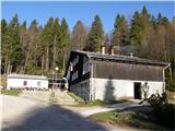
From the parking lot near the mountain hut Dom na Osankarici we go on a footpath in the direction of the lake Črno jezero. The path at first ascends on stairs, and then it brings us in swampy forest. The path through the forest partly runs on a smaller wooden bridges, so we can walk on dry grounds. After 20 minutes of pleasant walking path brings us to the lake Črno jezero.
From the lake, we continue on a path in the direction of Trije kralji. The path ahead at first slightly ascends, after that almost horizontally brings us to a crossing, where we continue right (left Šumik). Forest path then runs past a cross Urškin križ to a ski track of ski center Trije kralji. From here ahead our path starts descending towards the church of Holy Three Kings, which we reach after additional 15 minutes of walking.
Pictures:
 1
1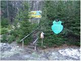 2
2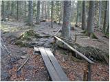 3
3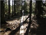 4
4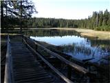 5
5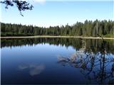 6
6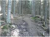 7
7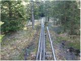 8
8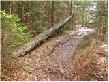 9
9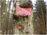 10
10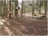 11
11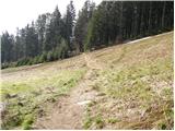 12
12 13
13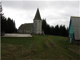 14
14 15
15