Dom pod Storžičem - Stegovnik (eastern way)
Starting point: Dom pod Storžičem (1123 m)
Starting point Lat/Lon: 46.3586°N 14.3906°E 
Path name: eastern way
Time of walking: 4 h
Difficulty: partly demanding marked way
Difficulty of skiing: demanding
Altitude difference: 569 m
Altitude difference (by path): 800 m
Map: Karavanke - osrednji del 1:50.000
Access to starting point:
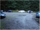
From highway Ljubljana - Jesenice we go to the exit Ljubelj. From this road before the gas station, we turn right in Tržič. We follow the road ahead through Tržič and on the other side of Tržič we turn right towards Lom pod Storžičem. This road ahead we follow towards signs Dom pod Storžičem. We park on a parking lot few meters before the mountain hut.
Path description:
From the parking lot in front of the mountain hut we go on the road which goes left in the direction of saddle Javorniško sedlo and mountain pasture Javornik. The road after approximately 20 minutes of walking changes into a cart track. Here we can continue on a marked footpath which is quite abandoned or on a cart track. I recommend walking on a cart track because it is orientationally easier even though it isn't marked. Cart track, which is relatively steeply ascending we follow through the forest to a saddle Javorniško sedlo, where there is a crossing.
We continue slightly left in the direction of Stegovnik and saddle Močnikovo sedlo (sharply left mountain pasture Javornik, right Storžič) on a cart track which crosses eastern slopes of the secondary peak of Ženiklovec. After few minutes of diagonal walking cart track joins the other a little wider cart track, where we continue straight (slightly right) moderately downwards. Cart track quickly flattens and the path past decaying trough with water brings us on a panoramic grassy slope, where we run into orientational problem. At the signpost, which is often fallen down we leave the cart track and we continue left on a grassy slope upwards. After a short ascent, the path turns right and continues through the spruce forest. And footpath already after few minutes of additional walking widens into a cart track which we then follow for quite some time (blazes on this part are rare and faded). Eventually the cart track again turns into a footpath which through the forest brings us on the southern slopes of Mali Javornik. And occasionally quite panoramic path quickly returns into the forest, where from the south slopes passes on the eastern. The path which is further mostly slightly descending eventually brings us to the saddle between Mali Javornik and Stegovnik, where there is also a crossing.
We continue left in the direction of Stegovnik (straight saddle Mačensko sedlo) on the path which crosses a lane of high grass. The path ahead starts slightly descending and in few minutes it brings us on a parallel path, which runs on the western slopes of Ženiklovec and Mali Javornik. Here we continue right (left mountain pasture Javornik) and the path in few steps it brings us to the window in Stegovnik. With the help of a steel cable we ascend to the first window in the middle of which passage opens up left on a ladder downwards. Window then narrows (watch out head) and the path brings us on the other side of the side ridge. And on the other side of the window the path starts ascending steeper and in zig-zags brings us on the ridge of Stegovnik. Next follows 10 more minutes of walking on a panoramic ridge. In the snow the ridge is dangerous for slipping.
We can descend on the western path.
On the way: Javorniški preval (1465m), Okno v Stegovniku (1460m)
Pictures:
 1
1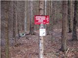 2
2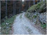 3
3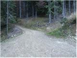 4
4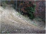 5
5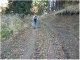 6
6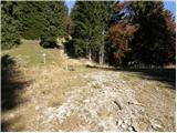 7
7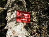 8
8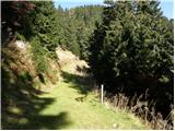 9
9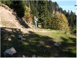 10
10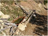 11
11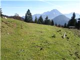 12
12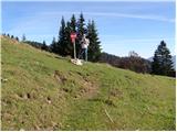 13
13 14
14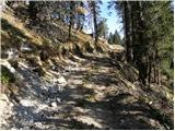 15
15 16
16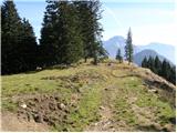 17
17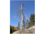 18
18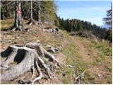 19
19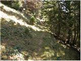 20
20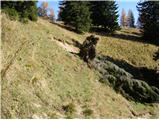 21
21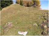 22
22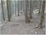 23
23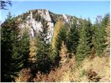 24
24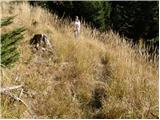 25
25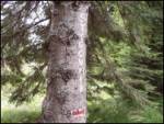 26
26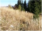 27
27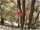 28
28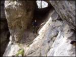 29
29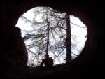 30
30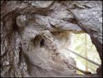 31
31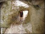 32
32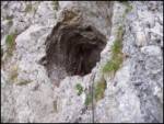 33
33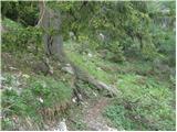 34
34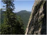 35
35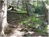 36
36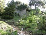 37
37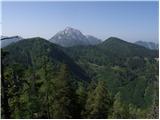 38
38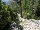 39
39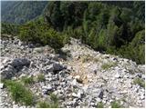 40
40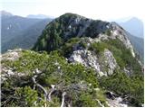 41
41 42
42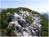 43
43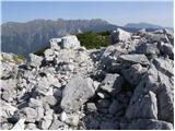 44
44