Dom pod Storžičem - Tolsti vrh (on hunting path)
Starting point: Dom pod Storžičem (1123 m)
Starting point Lat/Lon: 46.3586°N 14.3906°E 
Path name: on hunting path
Time of walking: 2 h
Difficulty: easy pathless terrain
Difficulty of skiing: no data
Altitude difference: 592 m
Altitude difference (by path): 615 m
Map: Karavanke - osrednji del 1:50.000
Access to starting point:
First, we drive to Tržič, and then we continue driving towards the gorge Dovžanova soteska and Lom pod Storžičem. At the end of Tržič, near the factory Lepenka, we leave the main road towards Dovžanova soteska and we continue driving right in the direction of Lom pod Storžičem. Above the Lom pod Storžičem we get to the village Grahovše, and we follow the road in the direction of the mountain hut Dom pod Storžičem. After approximately 7.7 km of driving from the crossroad at factory Lepenka, of this 3.7 km macadam, we get to the parking lot near Dom pod Storžičem, where we park.
Path description:
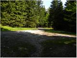
From the starting point near the mountain hut Dom pod Storžičem we short time continue on the road (direction Storžič), and then we go on parallel mountain path, that is gently ascending by the edge of a meadow. On the upper part of the meadow we get to a smaller wooden cottage, where the path splits into two parts. We choose the slightly right path (left Storžič through Žrelo and over Škarjev rob), which continues on and by relatively steep cart track. The path higher flattens a little and turns to the right. Further, we are for some time ascending diagonally towards the right, and then we get by the edge of steep gully, through which we diagonally ascend to the nearby wide cart track which we reach right at its end. The mentioned cart track we immediately leave and we continue slightly left in the forest. We for some time continue through the forest, on the path which is for some time descending gently, and then we get to a smaller crossing, from where we continue in the direction of Mala Poljana.
From the crossing ahead, the path again starts ascending, and it all the time crosses slopes towards the right. Higher, we reach the cart track, on which we quickly walk to near Mala Poljana.
From the marked crossing on Mala Poljana we continue straight towards the west, where we walk by the grazing fence. After a short ascent by the grazing fence we continue right into the forest, where we step on a cart track, on which we continue an ascent to its end. From the end of the cart track, we ascend on an indistinct forest ridge, where a little higher we notice old hunting footpath. Through the forest, we can still follow a poorly visible footpath, and higher footpath several times for a longer time vanishes or is entirely overgrown and we practically can't follow it. During the ascent, we stick to the eastern ridge of Tolsti vrh, which is mostly overgrown with dwarf pines, and we are looking for passages among dwarf pines. During breaking through dwarf pines it is possible to follow old hunting path, which is entirely overgrown, but at ground, that means below dwarf pines is still relatively easy to follow. Occasionally we can during the ascent also notice traces, that many years ago dwarf pine was cutted. When we get through all lanes of dwarf pines, in front of us, we notice the peak, to which we only have few steps of ascent.
The described path is abandoned and practically impassable. If we still decide for the ascent on described "path", we can't avoid climbing through dwarf pines.
We descend on normal marked path.
Description from Mala Poljana to Tolsti vrh refers to condition in the year 2017 (June).
Pictures:
 1
1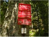 2
2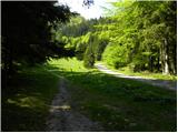 3
3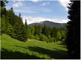 4
4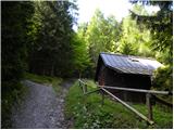 5
5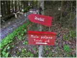 6
6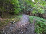 7
7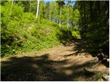 8
8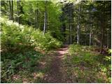 9
9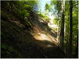 10
10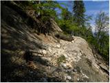 11
11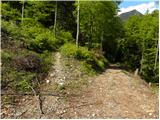 12
12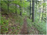 13
13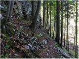 14
14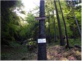 15
15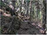 16
16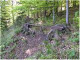 17
17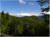 18
18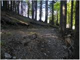 19
19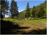 20
20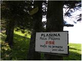 21
21 22
22 23
23 24
24 25
25 26
26 27
27 28
28 29
29 30
30 31
31 32
32 33
33 34
34 35
35 36
36 37
37 38
38 39
39 40
40 41
41 42
42 43
43