Starting point: Dom v Gorah (762 m)
Starting point Lat/Lon: 46.1149°N 15.1384°E 
Time of walking: 1 h 40 min
Difficulty: partly demanding marked way
Difficulty of skiing: more demanding
Altitude difference: 148 m
Altitude difference (by path): 215 m
Map:
Access to starting point:
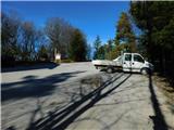
From Celje, we drive to Laško and then we follow the road to the next bigger crossroad, where we turn right in the direction of Hrastnik. The road which is mostly slightly ascending then brings us to a crossroad, where the road branches off to the left towards the village Turje. Further, we drive through Turje and at the crossroads, we follow the road in the direction of the mountain hut Dom v Gorah, where we park on a parking lot near the mountain hut.
From Sevnica we drive towards Celje. Soon behind the village Rimske Toplice, the road branches off to the left towards Hrastnik. Further, follow the upper description.
From Hrastnik we drive towards Laško. Soon behind the village Dol, the road branches off to the right towards the village Turje. Further, follow the upper description.
Path description:
From the hut, we at first walk on the road on which we came from, and then at the signposts we leave the road and we go right on a footpath in the direction of Kopitnik. The path ahead at first few times crosses a road and then it is gently ascending to a crossroad, where we again go in the direction of Kopitnik. After additional few minutes of walking, the blazes point us left on a cart track which is slightly to moderately ascending on partly vegetated slope. Eventually, the path starts descending and brings us on a macadam road. Here we continue on the road ahead to the next crossroad, where we go right in the direction of Kopitnik, koča (mountain hut). This road (possible also on a marked shortcut) then in five minutes brings us to the mountain hut on Kopitnik.
From the cottage, we continue on the path in the direction of the summit. After few minutes, the path brings us on the forest road, where we continue left. The road then runs past the playground and then changes into a cart track. And from the cart track a marked footpath branches off to the left, which through the forest brings us on the secondary peak of Kopitnik. Next follows a short descent and then an ascent on a steep and slightly exposed slope. At the last ascent to the summit we have fixed safety gear for help, which aren't necessary. More caution is needed on the very summit, because the peak is narrow and precipitous.
Pictures:
 1
1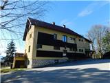 2
2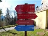 3
3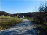 4
4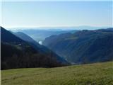 5
5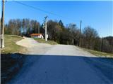 6
6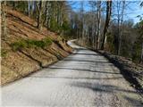 7
7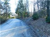 8
8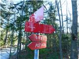 9
9 10
10 11
11 12
12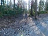 13
13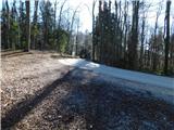 14
14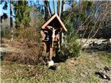 15
15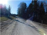 16
16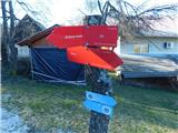 17
17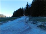 18
18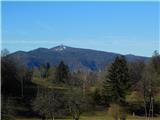 19
19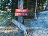 20
20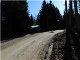 21
21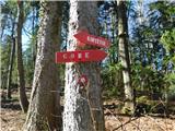 22
22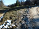 23
23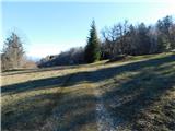 24
24 25
25 26
26 27
27 28
28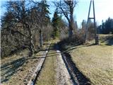 29
29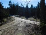 30
30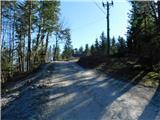 31
31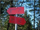 32
32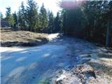 33
33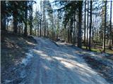 34
34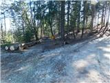 35
35 36
36 37
37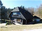 38
38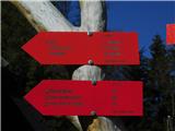 39
39 40
40 41
41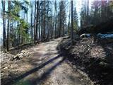 42
42 43
43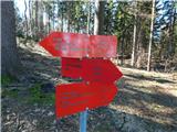 44
44 45
45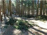 46
46 47
47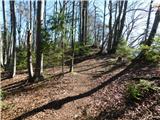 48
48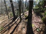 49
49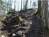 50
50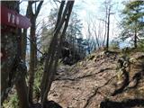 51
51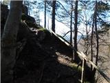 52
52 53
53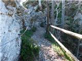 54
54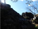 55
55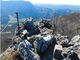 56
56 57
57