Dom v Iškem Vintgarju - Krim (steep path)
Starting point: Dom v Iškem Vintgarju (360 m)
Starting point Lat/Lon: 45.9118°N 14.4993°E 
Path name: steep path
Time of walking: 2 h
Difficulty: partly demanding marked way
Difficulty of skiing: no data
Altitude difference: 747 m
Altitude difference (by path): 760 m
Map: Ljubljana - okolica 1:50.000
Access to starting point:
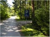
From south Ljubljana bypass highway, we go to the exit for industrial zone Rudnik, and then we continue driving in the direction of Ig. In the main roundabout on Ig we continue "right" (direction Iški Vintgar and Iška vas), and then we continue on the main road towards Iški Vintgar. When we come in Iški Vintgar, we park on first marked parking lot on the right side.
Path description:
At the end of the first parking lot we will notice slightly overgrown cart track which barely considerably ascends parallel with the nearby road. When after few 10 meters we get very close to other forest road, our cart track turns right uphill. After a short ascent (few 10 meters), we need to pay attention to trees on the right side, because we will there notice the first blaze and a little higher among fallen trees also second and the third.
In the lower part the footpath is because of some fallen trees hard to follow, but if we carefully follow the blazes, which lead us on a slope almost straight upwards, there aren't any bigger problems with orientation. After few minutes of a steep ascent, the path becomes even steeper and then is for some time very steeply ascending (mainly in wet is a great risk of slipping). Higher, the path which is really steep turns for few meters right, where brings us on a smaller ridge. Here, the footpath flattens a little, but for some time it is still steeply ascending. After few minutes, we leave indistinct small ridge, because relatively frequent blazes, on a badly beaten path, point us to the right on steep slopes, on which we are diagonally ascending towards the right. After few minutes of crossing, we get to a small indistinct valley, through which in three minutes we ascend on the edge of smaller plateau near the Gornji Ig. From here follows few steps long descent and we join the path from Iška.
When we reach the mentioned marked path we follow it to the left and then in some successive crossroads we follow it in the direction of Krim.
At cave Velika Pasica we leave the asphalt and on Krim we continue at first on a macadam road and higher cart track. Cart track little higher (at power line) crosses wider macadam road, behind which starts ascending a little steeper. After few minutes of a moderate ascent we get to a marked crossing, where we continue "straight" in the direction of Krim (left Iški Vintgar - normal path, right Strahomer).
The path ahead starts quite steeply ascending on a partly rocky cart track, we walk there all the way until we get on the road which leads on Krim. Here we cross the road and past a cross and military structures in less than 5 minutes we ascend to the mountain hut Dom na Krimu.
On the way: Gornji Ig (636m)
Pictures:
 1
1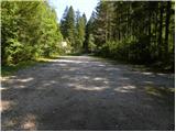 2
2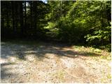 3
3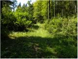 4
4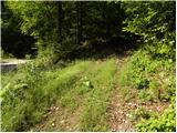 5
5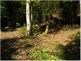 6
6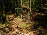 7
7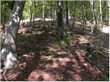 8
8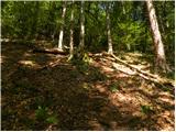 9
9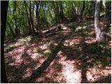 10
10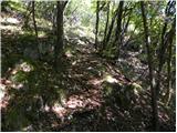 11
11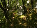 12
12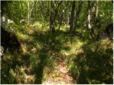 13
13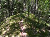 14
14 15
15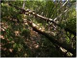 16
16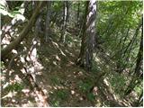 17
17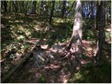 18
18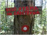 19
19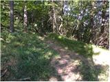 20
20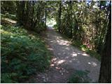 21
21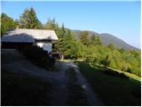 22
22 23
23 24
24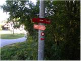 25
25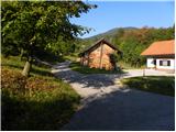 26
26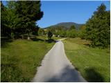 27
27 28
28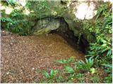 29
29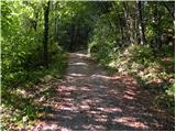 30
30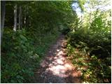 31
31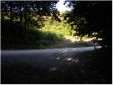 32
32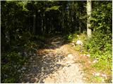 33
33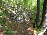 34
34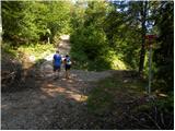 35
35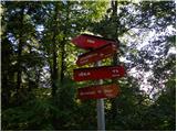 36
36 37
37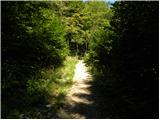 38
38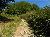 39
39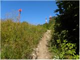 40
40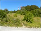 41
41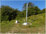 42
42 43
43 44
44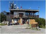 45
45