Draga - Dobrča (via Ledena trata)
Starting point: Draga (650 m)
| Latitude/Longitude: | 46,3846°N 14,2178°E |
| |
Route name: via Ledena trata
Walking time: 3 h
Difficulty: easy unmarked way
Elevation gain: 984 m
Elevation difference along the route: 1000 m
Map: Karavanke - osrednji del 1:50.000
Recommended equipment (summer):
Recommended equipment (winter): ice axe, crampons
Views: 10.211
 | 2 people like this post |
Access to starting point:
From the highway Ljubljana - Jesenice, take the exit Radovljica (from the Gorenjska side exit Lesce) and follow the road ahead in the direction of Begunje. At the end of the village Begunje we turn left towards Dom v Dragi (right Tržič), and we follow the road to a large parking lot by the hostage cemetery.
Route description:
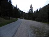
From the parking lot, we continue on the asphalt road which gently ascends further by the stream Begunjščica. After approximately 5 minutes of walking, we will get to a smaller crossroad, where the forest road branches off to the right. We go on the mentioned road which moderately ascends further by the edge of a larger meadow. For quite some time, we continue by the meadow, and then the road turns right, crosses the riverbed of the stream Črni potok and just a few dozen meters ahead brings us to the unmarked crossroad, where we continue on the right road (left road soon ends). Further, we ascend diagonally towards the right, and the road brings us to a sharp left turn, from which a nice view opens up on the Julian Alps with Triglav and Stol and Begunjščica.
Further, we continue for quite some time on a macadam road, and with occasional views on surrounding mountains we follow it to its end (up to here possible also with a car, this shortens the path by approximately an hour and a half).
From the end of the road, we continue on a relatively steep cart track which ascends further on the left side of a smaller indistinct valley. Higher, the cart track starts to vanish, and we follow the remains of some kind of footpath until we get on the main ridge, where we also step on the marked path Preval - Dobrča.
When we step on the marked path we follow it to the right, and at first it steeply ascends, then gradually flattens and turns right on relatively steep slopes, through which we ascend diagonally. Next follows a few minutes of crossing, and then the path steeply ascends again, this time over a steep slope, which is on some spots mainly because of leaves dangerous for slipping (if on this part of the path there are still snow fields, the use of ice axe and crampons is mandatory). The path then flattens, crosses a grazing fence and just a few meters ahead splits into two parts. We continue on the lower path (cart track), which after a shorter crossing brings us to a forest road which leads to the Koča na Dobrči mountain hut. On the mentioned road we walk to the mentioned hut in good 2 minutes, or we can immediately turn left on the marked path which leads towards the summit of Dobrča.
We bypass the weekend cottages on Podgorska planina on the right side and ascend over a panoramic grassy slope, then the path passes into initially sparse, higher increasingly dense forest. When the steepness decreases, two paths join from the right, and we continue straight ahead in both cases. The path ahead steeply ascends again and after a few minutes of further walking brings us to the summit of Dobrča.

Photos:
 1
1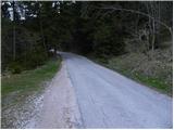 2
2 3
3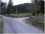 4
4 5
5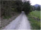 6
6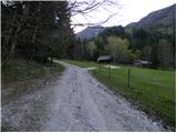 7
7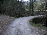 8
8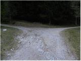 9
9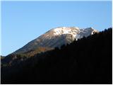 10
10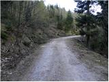 11
11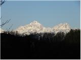 12
12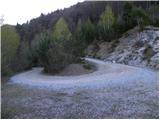 13
13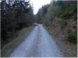 14
14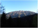 15
15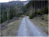 16
16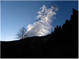 17
17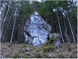 18
18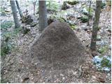 19
19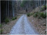 20
20 21
21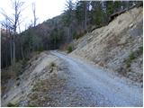 22
22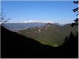 23
23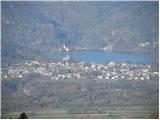 24
24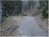 25
25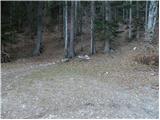 26
26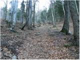 27
27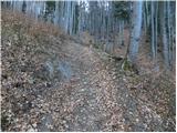 28
28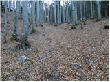 29
29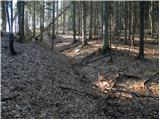 30
30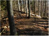 31
31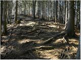 32
32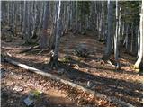 33
33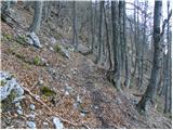 34
34 35
35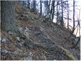 36
36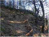 37
37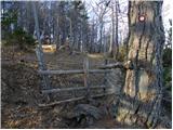 38
38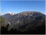 39
39 40
40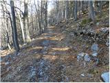 41
41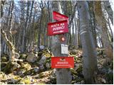 42
42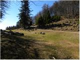 43
43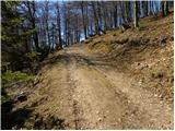 44
44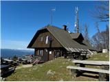 45
45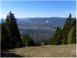 46
46 47
47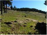 48
48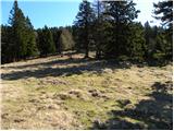 49
49 50
50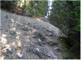 51
51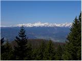 52
52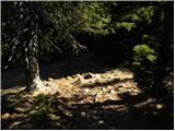 53
53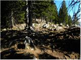 54
54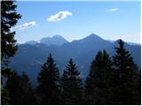 55
55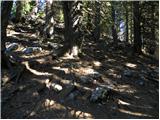 56
56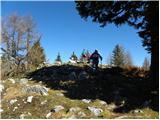 57
57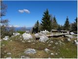 58
58 59
59
Discussion about the trip Draga - Dobrča (via Ledena trata)
|
| Majdag15. 06. 2011 |
...Only the initial part of the path is steeper, then a very pleasant path. Especially if you make it to the end. Livestock is already on the planina. On Šentanski vrh there were wonderful views in the morning, we enjoyed..Majda
|
|
|
|
| samoa15. 06. 2011 |
I really like the path to Dobrča from Ljubelj. Along Bornova pot to Prevala, then continue the same on the marked path as described above. The path is quite well maintained (already last year), full of views and flowers.
|
|
|
|
| iztok.maltar15. 06. 2011 |
One addition:
At the unmarked junction behind Črni potok, you can go along the left road, which soon ends. From there follow the little path that immediately turns away from the stream slightly to the right. Along it you also reach the end of the road and conveniently shorten the path and avoid walking on the road. For those who want to climb to Dobrča here, I would suggest parking the car at grad Kamen or at the large parking lot a bit further in Draga. From there it's not much farther to the planina, on the return you can descend from the koča to the south side along the marked path, and above vas Slatna follow a nice unmarked path that brings you back to the grad and thus make a nice loop tour.
|
|
|
|
| Majdag16. 06. 2011 |
...Interesting Iztok76, when there's no transport I'll follow that advice, thanks...Majda
|
|
|
|
| Majdag17. 09. 2011 |
Lonely, pleasant path, I prefer it over the one from Brezije. On Šentanski vrh, the stamp pad is torn off. If anyone is planning to go up to that summit, please take glue and fix it, as Majda.. . .
|
|
|
To post a comment you must log in:
If you do not yet have a username, you must first
register.