Fram - Mariborski razglednik (Cigelnica) (via Petkovo sedlo)
Starting point: Fram (327 m)
Starting point Lat/Lon: 46.45615°N 15.62687°E 
Path name: via Petkovo sedlo
Time of walking: 3 h 25 min
Difficulty: easy marked way
Difficulty of skiing: no data
Altitude difference: 820 m
Altitude difference (by path): 840 m
Map: Pohorje 1:50.000
Access to starting point:
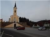
We leave Štajerska highway at exit Fram and follow the signs for Fram. When we reach the main road Slovenska Bistrica - Maribor, at the traffic light crossroad we continue straight and we drive to the center of Fram. We continue through the settlement, and when we get to the parking lot below the parish church of St. Ana, we park on a parking lot in the center of the settlement.
Path description:
From the starting point, we go right on the road in the direction of Mariborska koča (straight - Ruška koča na Arehu), and at the nearby crossroad, we go left towards Ranče and we start ascending by stream Framski potok. When the road towards Ranče turns right, we continue straight on a side road, by which blazes continue and by which there are signs for fish farm. Next follows few more smaller crossroads, where we follow the blazes, and when we go away from the stream, the road soon loses an asphalt covering. Higher, we go also past a cross and older house, and then we slightly descend, and before the gate we go slightly right on a footpath which ascends diagonally on a steep slope. The path ahead leads us on a cart track, and when the path turns right we quickly leave the forest and we ascend to the settlement Ranče, where we step on an asphalt road.
We continue through the village, and at the crossroad behind Gostišče Meglič we go left. Also further we are ascending on the asphalt road, where we follow the blazes, and higher we go from the asphalt road left on a macadam road, on which we walk to a crossroad of newer logging trails and roads. Here we carefully follow the blazes, so that we choose the correct cart track for continuation, and on a cart track we ascend to peak Sedovec, from which follows a shorter descent to an asphalt road which we reach at a wooden sculpture.
We continue left towards Mariborska koča (right - Slivnica) and we are moderately ascending, mostly through the forest, and when we leave the forest, we descend to the farm Plahutnik, where at the crossroad we continue straight on a marked cart track which ascends through a meadow. Higher, we cross a lane of a forest and we get to lung disease hospital, behind which we cross a wider asphalt road. We again ascend through a lane of a forest, and when we return on a wider road we follow it to the right, and from there still before the left turn we go left on a cart track which cuts the mentioned longer turn. When we step again on the road, we cross it once more and ascend a few stairs to a macadam road, which we follow left upwards. Next follows a short ascent on the macadam road, which soon flattens and leads us past the cottage Dom Planinka and a few houses to saddle Petkovo sedlo, where there is a marked crossing.
On saddle Petkovo sedlo, we join the path from Pivola, and the path splits. Along a slightly left road, the path continues toward waterfall Skalca; slightly to the right, a road leads to hotel Tisa; to the right, a path leads to a hunting cottage, but we continue straight toward Mariborska koča.
We continue through a meadow between two roads, then the path enters the forest, where we follow the blazes. Higher up, we cross the main road toward hotel Bellevue once more, and a little further, we leave the forest. We continue past a cross, and when we reach an asphalt road, we proceed from a marked crossing onto a side road toward Sveti Bolfenk and hotel Bellevue (left to Mariborska koča, 3 minutes). We continue on a side road which leads us through the settlement of holiday cottages, in the settlement we continue on the upper left road which starts ascending steeper (straight - Sveti Bolfenk and hotel Bellevue). Settlement of holiday cottages after few minutes ends, and we continue on a marked cart track, where at the crossings of numerous logging trails we follow the blazes. Higher, we reach the path which leads via Ledinekov kogel, and we continue right and we start lightly descending. Only a little further from the left joins the path which leads via Pečke.
The path ahead brings us out of the forest and we get to a lookout tower on Mariborski razglednik.
The description and images refer to the conditions in 2022 and 2023.
On the way: Ranče (525m), Slivniško Pohorje (726m), Petkovo sedlo (881m)
Pictures:
 1
1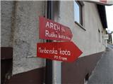 2
2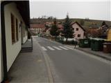 3
3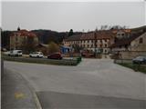 4
4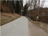 5
5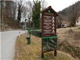 6
6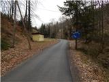 7
7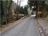 8
8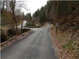 9
9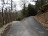 10
10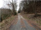 11
11 12
12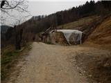 13
13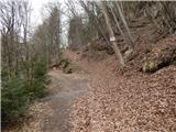 14
14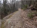 15
15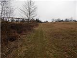 16
16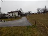 17
17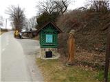 18
18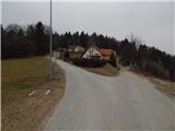 19
19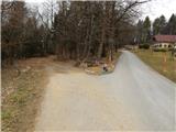 20
20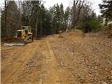 21
21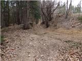 22
22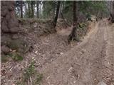 23
23 24
24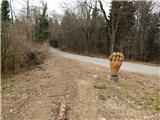 25
25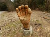 26
26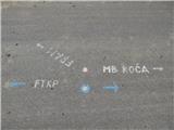 27
27 28
28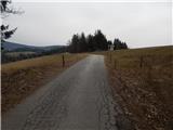 29
29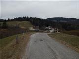 30
30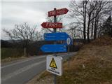 31
31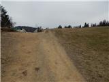 32
32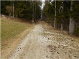 33
33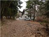 34
34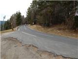 35
35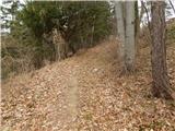 36
36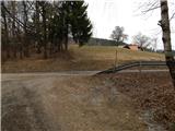 37
37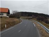 38
38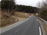 39
39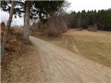 40
40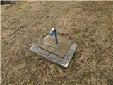 41
41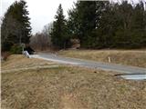 42
42 43
43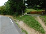 44
44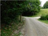 45
45 46
46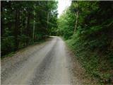 47
47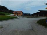 48
48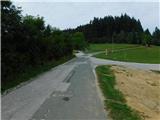 49
49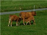 50
50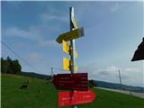 51
51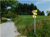 52
52 53
53 54
54 55
55 56
56 57
57 58
58 59
59 60
60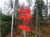 61
61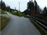 62
62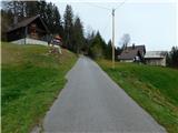 63
63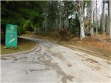 64
64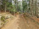 65
65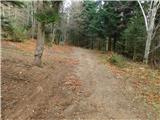 66
66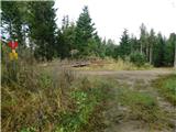 67
67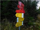 68
68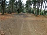 69
69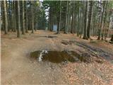 70
70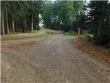 71
71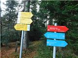 72
72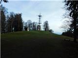 73
73 74
74