Starting point: Fram (327 m)
Starting point Lat/Lon: 46.45615°N 15.62687°E 
Time of walking: 4 h 30 min
Difficulty: easy marked way
Difficulty of skiing: no data
Altitude difference: 1019 m
Altitude difference (by path): 1065 m
Map: Pohorje 1:50.000
Access to starting point:
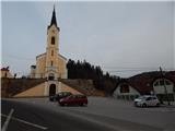
We leave Štajerska highway at exit Fram and follow the signs for Fram. When we reach the main road Slovenska Bistrica - Maribor, at the traffic light crossroad we continue straight and we drive to the center of Fram. We continue through the settlement, and when we get to the parking lot below the parish church of St. Ana, we park on a parking lot in the center of the settlement.
Path description:
From the starting point, we go on the road which on the left side bypasses the church of St. Ana and by which there are signs for Ruška koča na Arehu (right - Mariborska koča). When a little ahead the road turns right, we continue straight on a side road, where we go past the cemetery. On the upper part of the cemetery the path splits, and we can continue on a marked path, which goes at first by the cemetery, and then turns right and joins the cart track, where we join the path which at the cemetery turns right on a cart track and goes in the direction of water source Zlati studenec.
From the juncture of both paths we continue for approximately a minute and we get to the source Zlati studenec, where there is an information board.
We continue on a marked path, which brings us out of the forest and few steps further to an asphalt road which we follow right upwards, and the nearby chapel we bypass on the left side. With nice views we continue past few more houses, and then signs for Areh point us to the right, and a little ahead we go left, again towards Areh. The road a little ahead changes into a cart track which ascends diagonally through the forest, and higher we reach a smaller crossroad of asphalt roads. We continue on a side marked road which at first slightly ascends, and then starts descending. The road soon stops descending, and after the cross we go from the road slightly left on a marked cart track which leads us by nearby farm. After the farm at first a nice view opens up towards Boč, and then the path goes into the forest, and is for few minutes ascending diagonally, we then cross a meadow, and at the hunting observatory we return into the forest. For a short time, we walk through the forest and then we reach a larger grassy area, where the path turns left. After the grassy part we return on the road, where the path leads us past two tourist farms, and after them we go right on a marked path (straight - Sveti Križ), which crosses a lane of a forest and then it returns on the road. We follow the road to the right, and at the nearby crossroad, we go on the left road. We few minutes continue on the road, and when the road makes a longer right turn we go from the road left on a marked path, which ascends by the power line. Higher, we reach a narrower asphalt road, where we go right, and at the crossroad with the priority road we go left. The path ahead leads us past a smaller hamlet, and then the road returns into the forest, where soon blazes point us to the right on a footpath towards Areh. Through the forest at numerous crossings we follow the blazes, and the path at first leads past a cross, higher also past NOB monument, near of which there is another cross.
Here we also get to an asphalt road which we quickly leave and we continue right into the forest, where at the crossings we follow the blazes, and higher we reach the main asphalt road and we follow it to the left.
On the main road we walk to a crossroad, where a road towards Hotel Zarja branches off to the right.
We continue slightly left on a marked path towards Areh (to the left continues the main road, right - Hotel Zarja) and further we are ascending diagonally on a cart track. Higher at the crossing we continue straight and we are still ascending diagonally, and a little after the hunting observatory we get to a marked crossing, where we reach a wider path which leads from Mariborska koča towards Ruška koča na Arehu.
We continue left and we are mainly gently ascending on the macadam road which leads us past some graveyards. After some time, we return on the main road, next to it we short time continue, and then we go slightly left on a footpath, on which we quickly get to the church of St. Areh.
From the church, we cross a meadow and we are already at Ruška koča na Arehu.
After Ruška koča we reach the parking lot and a wider road, and we follow it to the left towards Žigartov vrh, Šumik and Osankarica. We are slightly ascending on the road, and after 15 minutes, we go slightly left in the direction of Žigartov vrh, to which we have approximately 15 minutes of walking (left - Koča na Šumiku).
The path ahead brings us to the nearby ski track, by the edge of which we then ascend to the top of the ski lift, which comes from the right side. Further, we still walk on the forest road, and there we get to the next crossing.
Here we go from the road right upwards on a marked path, on which in few minutes we get to Žigartov vrh.
Fram - Zlati studenec 0:10, Zlati studenec - Ruška Koča 3:50, Ruška Koča - Žigartov vrh 0:30.
Pictures:
 1
1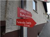 2
2 3
3 4
4 5
5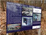 6
6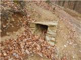 7
7 8
8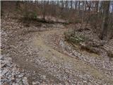 9
9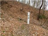 10
10 11
11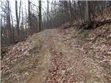 12
12 13
13 14
14 15
15 16
16 17
17 18
18 19
19 20
20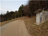 21
21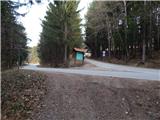 22
22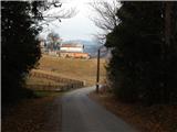 23
23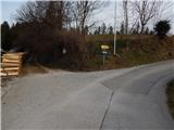 24
24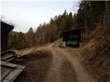 25
25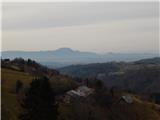 26
26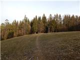 27
27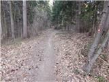 28
28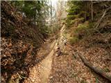 29
29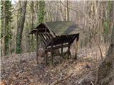 30
30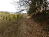 31
31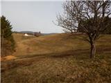 32
32 33
33 34
34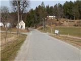 35
35 36
36 37
37 38
38 39
39 40
40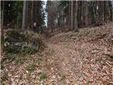 41
41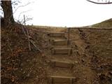 42
42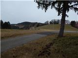 43
43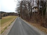 44
44 45
45 46
46 47
47 48
48 49
49 50
50 51
51 52
52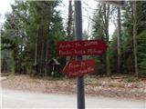 53
53 54
54 55
55 56
56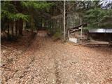 57
57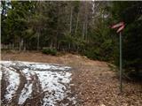 58
58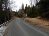 59
59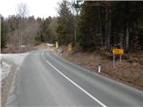 60
60 61
61 62
62 63
63 64
64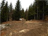 65
65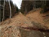 66
66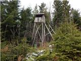 67
67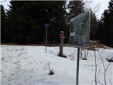 68
68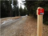 69
69 70
70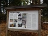 71
71 72
72 73
73 74
74 75
75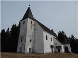 76
76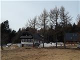 77
77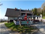 78
78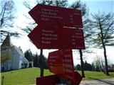 79
79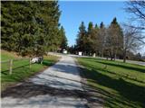 80
80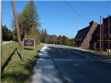 81
81 82
82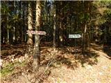 83
83 84
84 85
85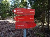 86
86 87
87 88
88 89
89 90
90 91
91 92
92 93
93 94
94 95
95 96
96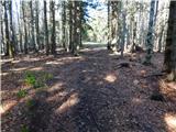 97
97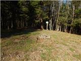 98
98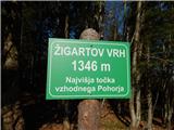 99
99