Starting point: Frankolovo (371 m)
Starting point Lat/Lon: 46.32964°N 15.31612°E 
Time of walking: 2 h 30 min
Difficulty: easy marked way
Difficulty of skiing: no data
Altitude difference: 641 m
Altitude difference (by path): 685 m
Map:
Access to starting point:
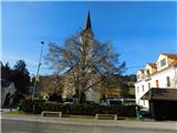
A) Highway Ljubljana - Maribor we leave at exit Celje east, and then we follow the signs for Vojnik and forward Frankolovo. When we get to Frankolovo, we park on a parking lot near the parish church, or on some other parking lot nearby.
B) Highway Maribor - Ljubljana we leave at exit Slovenske Konjice, and then we follow the signs for Slovenske Konjice, and later Stranice and Vojnik. When we get to Frankolovo, we park on a parking lot near the parish church, or on some other parking lot nearby.
Path description:
On the opposite side of the main road as the church, on the wall of the nearby house we notice signposts for Stolpnik and Črešnjice, which point us over a wooden bridge over the stream Tesnica. On the other side of the stream, we ascend on a steep footpath which leads us between two pastures, and when a little higher we reach the cart track we go left. On the cart track which crosses slopes towards the left we are lightly descending, and we quickly go right upwards, where through a shorter overgrown part we pass into the forest. Through the forest, we follow the blazes, when we higher reach an asphalt road, we go left (road to the right leads to the last house). Next follows a relatively short ascent and the path brings us to the settlement Bezenškovo Bukovje, where on the left side we bypass a bigger chapel. We continue with nice views, and then in a gentle descent, we reach a crossroad, where we go straight across a little wider road. After the crossroad, we go slightly right, and then we start considerably ascending, and higher we go sharply right. Next follows a diagonal ascent towards the right, where the path leads us past several individual houses, and most of the time we are also accompanied by nice views towards Posavsko hribovje. When houses become more dense, we quickly get to the parish church of Our Lady of the Rosary in Črešnjice.
We bypass the church on the left side and we continue on the road towards Stolpnik. At the nearby sports field the road ends, and we continue on a cart track which starts ascending diagonally towards the right. Next follows a walk through the forest, at first still on a cart track, and then on a forest path. First part we are mostly ascending diagonally towards the right, and then for some time we steeply ascend on an indistinct ridge. A little further, we get to a crossing, where we cross a wider cart track, and we go straight towards Stolpnik, where we continue on a cart track which is ascending diagonally towards the right. Higher at few crossings we follow the blazes, and we follow the marked path which continues through the forest all the way to Stolpnik, where stands a lookout tower.
Frankolovo - Črešnjice 1:05, Črešnjice - Stolpnik 1:25.
Description and pictures refer to a condition in December 2022.
Pictures:
 1
1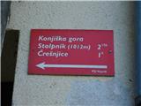 2
2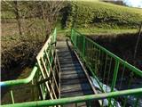 3
3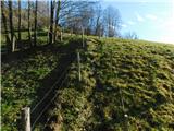 4
4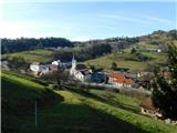 5
5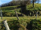 6
6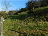 7
7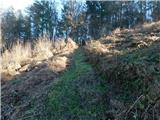 8
8 9
9 10
10 11
11 12
12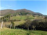 13
13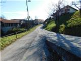 14
14 15
15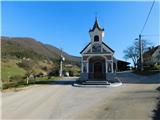 16
16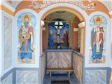 17
17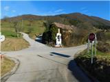 18
18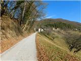 19
19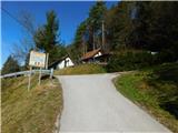 20
20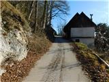 21
21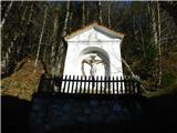 22
22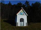 23
23 24
24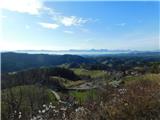 25
25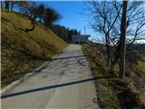 26
26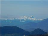 27
27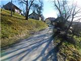 28
28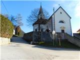 29
29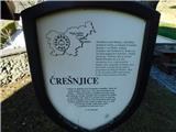 30
30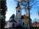 31
31 32
32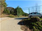 33
33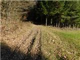 34
34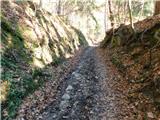 35
35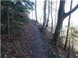 36
36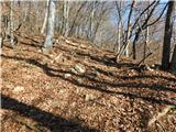 37
37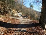 38
38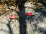 39
39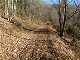 40
40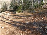 41
41 42
42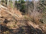 43
43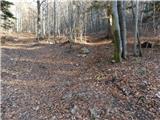 44
44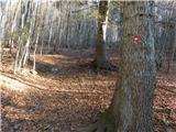 45
45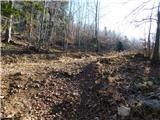 46
46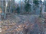 47
47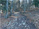 48
48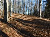 49
49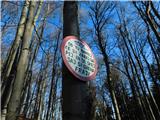 50
50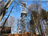 51
51 52
52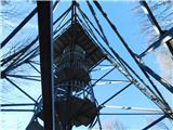 53
53 54
54 55
55 56
56