Franz-Josefs-Hohe - Großglockner
Starting point: Franz-Josefs-Hohe (2369 m)
Starting point Lat/Lon: 47.0752°N 12.7516°E 
Time of walking: 8 h
Difficulty: very difficult marked way
Difficulty of skiing: no data
Altitude difference: 1429 m
Altitude difference (by path): 1650 m
Map:
Access to starting point:
Through the Karawanks Tunnel, we drive past Spittal towards Lienz, but only to a settlement Molbrucke. We further follow the sign for an alpine road for Grossglockner. When we get to the mountain village Heiligenblut (holy blood) 1336 meters high we have only 17 more kilometers of Grossglockner Hochalpenstrasse, the most known Alpine Panorama road. The toll for this road is 26 euros per car (except at night to 5h in the morning). The road is open from May to October or depending on snow conditions..
Path description:
We park in garages by the edge of the glacier Pastirica / Pasterze on a most beautiful vantage point Franz-Josefs-Höhe 2369 meters high, from where we can see our path all the way to Kleine Grossglockner. If we come there at night or a day before, it is good to have a sleeping bag and armaflex with you, because it is possible to have some sleep in garages. On a glacier Pastirica/Pasterze runs a rack railway Grossglockner Gletscherbahn since 1963. From the altitude 2356 meters runs on 212 meters long line 144 meters lower on the edge of the glacier.
Our ascent starts right at the garages through one of five tunnels towards the mountain hut Hofmannhutte 2444 meters high. The tunnels are built because the old path-road was on many spots swept away by a landslide and the path was closed for few years. The path through the tunnels is really fun. Reminds of Gardaland. When we are through the last tunnel we soon notice on the left a mountain hut Hofmannhütte, past which runs our path. The mountain hut is in bad condition and therefore for many years closed and occupied by marmots. Past the mountain hut, we descend approximately 200 meters lower on a glacier Pastirica / Pasterze. We cross the glacier at the right angle based on the slope on which we descend there. At the crossing, we need to be careful because of the cracks in the glacier, because they can be quite wide and very deep. Because the glacier is thick up to 160 meters. In the case of fog, the orientation on a glacier is very difficult. If on the other side we don't see colored blazes on the rocks nor the marked poles, we go at first a little downwards, because at the crossing we usually go a little to the right. If after 100 meters marks aren't there we repeat this also upwards and we will certainly find the signs. The path is then steeply ascending on the ridge all the way to the spot named Fruhstuchsplatz, where we turn from the ridge few steps left downwards. Here starts a long ascent over a glacier Hofmannskess all the way to the mountain hut Erzherzog-Johann-Hutte (Adlersruhe rest) at 3454 meters. The bottom part of the path goes to the left, and the upper upwards and right to the hut. To the right we can go: 1. on a glacier below a midway rocky ridge. A caution is needed because of the cracks; 2. we just continue on a glacier upwards all the way to the edge on the upper ridge, where our path joins the path from the mountain hut Salmhütte on the south side. We continue right on a glacier. We soon have to go over a rocky midway ridge. Whereupon the paths join and mountain hut is already at our fingertips. The orientation on the glacier Hofmannskess in nice weather is easy, and in a fog very difficult or impossible.
From the mountain hut Erzherzog-Johann-Hütte (mountain hut is open from May to the end of September) we continue on a snow field immediately behind the mountain hut. On the steep snow field we ascend to Sattele (saddle) 3680 meters high, where the snow field ends. Further in the summer months usually there isn't much snow, so that this part of the ascent is more on rock than on a snow. First, on a steep exposed ridge, we ascend on Kleine Grossglockner 3783 meters high and over it we descend a little lower on a very narrow notch Glockner-scharte. At the passage there is enough space only for one person, therefore on this spot several times comes to congestion. Next follows only an approximately 50 meters of a steep ascent over Steile Platten to the summit of Grossglockner. For the summited peak we are rewarded with a view on French and Swiss Alps, Italian Dolomites, Julian Alps and High Tauern.
Fixed safety gear over Kleine Grossglockner and to the summit are steel poles and pitons with a ring, so with the right equipment, there aren't any problems with belaying. We also need equipment for walking in a roped party. For the ascent, we need quite some climbing knowledge and experiences. If we don't have those, it is best to the summit, the peak with a guide or an experienced alpinist.
We descend on the ascent route. When we descend to a glacier Pastirica / Pasterze, we can just go on a glacier downwards to the bottom station of a rack railway, and there we go to garages or we ascend on foot.
On the way: Koča Hofmannshütte (2444m), Koča Erzherzog-Johann-Hutte (3454m), Kleine Grossglockner (3783m)
Pictures:
 1
1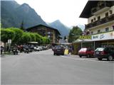 2
2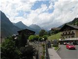 3
3 4
4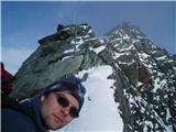 5
5 6
6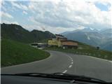 7
7 8
8 9
9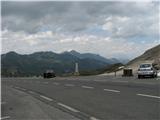 10
10 11
11 12
12 13
13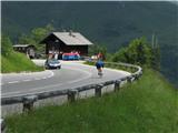 14
14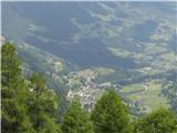 15
15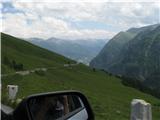 16
16 17
17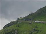 18
18 19
19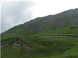 20
20 21
21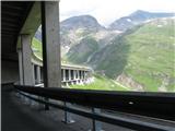 22
22 23
23 24
24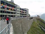 25
25 26
26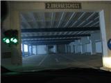 27
27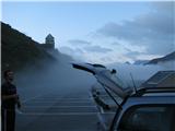 28
28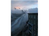 29
29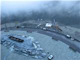 30
30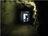 31
31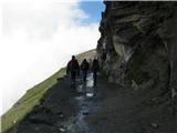 32
32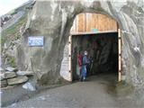 33
33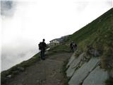 34
34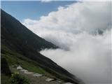 35
35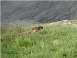 36
36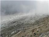 37
37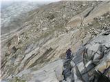 38
38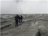 39
39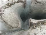 40
40 41
41 42
42 43
43 44
44 45
45 46
46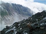 47
47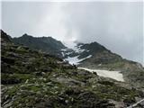 48
48 49
49 50
50 51
51 52
52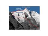 53
53 54
54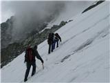 55
55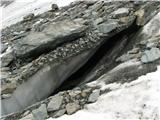 56
56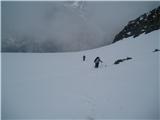 57
57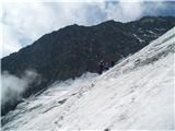 58
58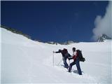 59
59 60
60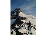 61
61 62
62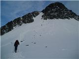 63
63 64
64 65
65 66
66 67
67 68
68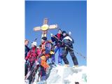 69
69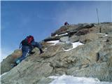 70
70 71
71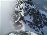 72
72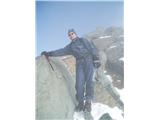 73
73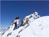 74
74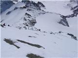 75
75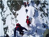 76
76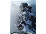 77
77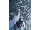 78
78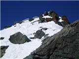 79
79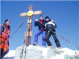 80
80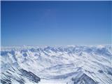 81
81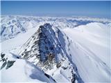 82
82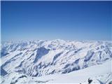 83
83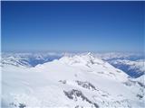 84
84 85
85 86
86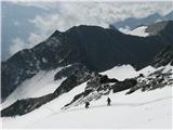 87
87 88
88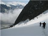 89
89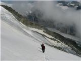 90
90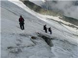 91
91 92
92 93
93 94
94 95
95 96
96 97
97