Gajševsko jezero - Grad Branek (Mallegg)
Starting point: Gajševsko jezero (181 m)
Starting point Lat/Lon: 46.53144°N 16.12567°E 
Time of walking: 25 min
Difficulty: easy marked way
Difficulty of skiing: no data
Altitude difference: 44 m
Altitude difference (by path): 44 m
Map:
Access to starting point:
Path description:
On the way: Branoslavci (184m)
Pictures:
 1
1 2
2 3
3 4
4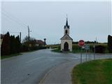 5
5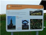 6
6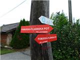 7
7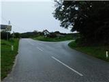 8
8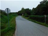 9
9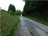 10
10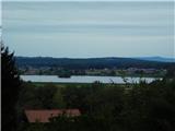 11
11 12
12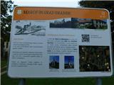 13
13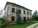 14
14