Gasthof Pfeifferstocker - Jagerhütte Straßerhalt
Starting point: Gasthof Pfeifferstocker (1430 m)
Starting point Lat/Lon: 46.85126°N 14.97188°E 
Time of walking: 35 min
Difficulty: easy marked way
Difficulty of skiing: no data
Altitude difference: 92 m
Altitude difference (by path): 100 m
Map:
Access to starting point:
Path description:
Pictures:
 1
1 2
2 3
3 4
4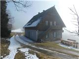 5
5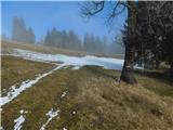 6
6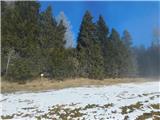 7
7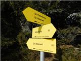 8
8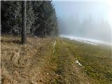 9
9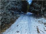 10
10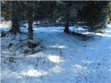 11
11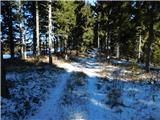 12
12 13
13 14
14 15
15