Starting point: Gobovce (381 m)
| Latitude/Longitude: | 46,2951°N 14,2616°E |
| |
Walking time: 30 min
Difficulty: easy unmarked way
Elevation gain: 85 m
Elevation difference along the route: 95 m
Map: Karavanke - osrednji del 1:50.000
Recommended equipment (summer):
Recommended equipment (winter):
Views: 573
 | 2 people like this post |
Access to starting point:
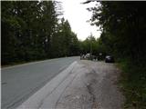
From the Podbrezje - Brezje road we drive towards Podnart and Kropa, and then before the beginning of the settlement Gobovce we park at an appropriate place on the left side of the road.
Route description:
From the starting point, we continue by the main road towards Podnart, when we get to Gobovce we go left on a side road. We continue for a few dozen steps on the asphalt, and then we go slightly left on a macadam road which takes us to the edge of the forest. Here the road turns right, and we go straight on a footpath which passes into the forest and widens into a cart track. After a short ascent, we leave the wide cart track and continue left on an overgrown cart track which crosses towards the left and crosses the bicycle downhill track. We continue through the forest, where the path turns right and becomes steep. There follow a few minutes of steep ascent, and then the path flattens and brings us to a junction.
If we want to go to the vantage point we continue right and descend in a gentle descent to the vantage point, from the vantage point we return to the junction and continue straight (if we didn't go to the vantage point we go left). There follow a few minutes of gentle ascent and we arrive at the sign in V Boštkú.
Description and pictures refer to the condition in 2019 (August).

Photos:
 1
1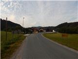 2
2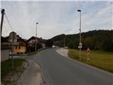 3
3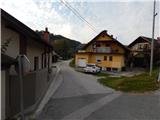 4
4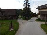 5
5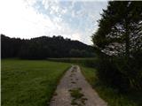 6
6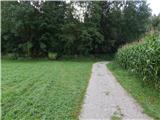 7
7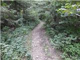 8
8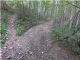 9
9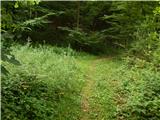 10
10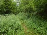 11
11 12
12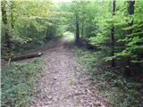 13
13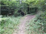 14
14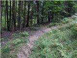 15
15 16
16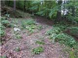 17
17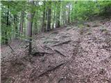 18
18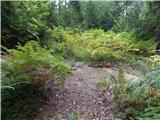 19
19 20
20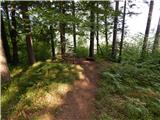 21
21 22
22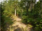 23
23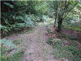 24
24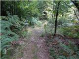 25
25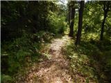 26
26 27
27
Discussion about the trip Gobovce - V Boštkú
To post a comment you must log in:
If you do not yet have a username, you must first
register.