Starting point: Golice (575 m)
Starting point Lat/Lon: 46.2194°N 14.7908°E 
Time of walking: 2 h 45 min
Difficulty: easy marked way
Difficulty of skiing: no data
Altitude difference: 933 m
Altitude difference (by path): 950 m
Map: Posavsko hribovje - zahodni del 1:50.000
Access to starting point:
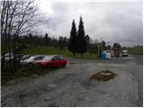
A) First, we drive to Kamnik, and then we continue driving on a regional road through the valley Tuhinjska dolina. Only a little after the village Laze v Tuhinju, we will get to the gas station, by which road branches off to the left towards villages Golice, Češnjice v Tuhinju and Okrog pri Motniku. Here we turn left and then only few meters ahead we park on an appropriate place by bus stop.
B) From highway Maribor - Ljubljana, we go to the exit Vransko, and then we continue driving in the direction of Kamnik. Only a little after mountain pass Kozjak (mountain pass between Gorenjska and Štajerska), we will get to the gas station, by which road branches off to the right towards villages Golice, Češnjice v Tuhinju and Okrog pri Motniku. Here we turn right and then only few meters ahead we park on an appropriate place by bus stop.
Path description:
From the crossroad next to the starting point, we go on the road in the direction of village Golice, and there point us also signposts for mountain hut Dom na Menini planini. The path at first leads on an ascending asphalt road, and then it brings us to the already mentioned village. Here behind second house in the village blazes point us to the right on a little steeper road which already after few meters ends behind the mentioned house. We continue on a marked cart track which ascends by the yard, and then we continue on a well-marked path, which is ascending over numerous pastures. Higher, the path passes into a lane of a forest, and at all crossings we follow it in the direction of signs Menina planina (mostly are only signs without caption). The path occasionally crosses some forest road, otherwise mostly runs on cart tracks. Eventually, the path brings us to NOB monument, by which there is trough with water, and we continue here sharply left, on still relatively well-marked path. Higher, the path brings us to a little wider forest road which we only cross and we continue the ascent in the direction towards the mountain hut Dom na Menini planini (left Tuhinj, right Biba planina). The path ahead becomes a little harder to follow, but if we carefully follow the blazes, at orientation there aren't any bigger problems. Higher, we come on a grazing area of Menina planina, and we continue on a slightly worse marked path in an already known direction. A little further, the path ascends steeper for a short time, and then almost entirely flattens and further leads over pleasant, partly grassy slopes. After few minutes of additional walking, we come at the marked crossing, where signs for Vivodnik point us to the right on a steep footpath, on which in two minutes we get to the top, in the middle of which stands a smaller lookout tower.
Pictures:
 1
1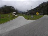 2
2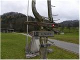 3
3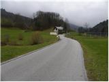 4
4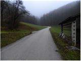 5
5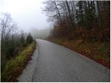 6
6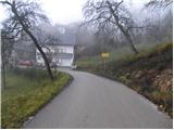 7
7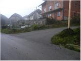 8
8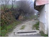 9
9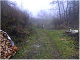 10
10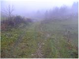 11
11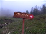 12
12 13
13 14
14 15
15 16
16 17
17 18
18 19
19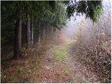 20
20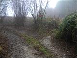 21
21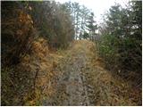 22
22 23
23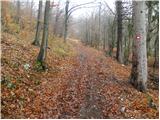 24
24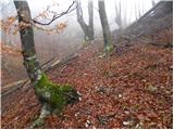 25
25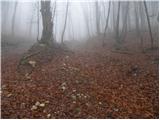 26
26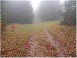 27
27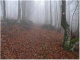 28
28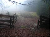 29
29 30
30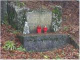 31
31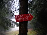 32
32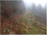 33
33 34
34 35
35 36
36 37
37 38
38 39
39 40
40 41
41 42
42 43
43 44
44 45
45 46
46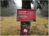 47
47 48
48 49
49