Grad - Grad Castle in Goričko
Starting point: Grad (267 m)
Starting point Lat/Lon: 46.8011°N 16.0921°E 
Time of walking: 15 min
Difficulty: easy marked way
Difficulty of skiing: no data
Altitude difference: 103 m
Altitude difference (by path): 103 m
Map:
Access to starting point:
A) First, we drive to Maribor, and then we continue driving on Pomurska highway towards Murska Sobota. At the exit Sveti Jurij ob Ščavnici we leave the highway and we continue driving towards Radenci. In Radenci we continue left towards Gornja Radgona and then soon right in the direction of Gederovci. From Gederovci we continue straight towards Krajna and Skakovci, and in Skakovci we go right towards Puconci. The road towards Puconci we follow to the settlement Lemerje, and there we turn left in the direction of the settlement Grad. We follow the road ahead to the mentioned settlement, where on a large parking lot at the church of the Assumption of Mary we also park.
B) From Murska Sobota we drive to Lemerje and from there we continue driving towards the settlement Grad, where we park on a parking lot at the church of the Assumption of Mary.
Path description:
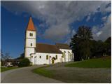
From the parking lot, we walk behind the church, and there signs for castle Grad point us slightly right on a fenced footpath. The path ahead at first continues by nearby house, and then it turns to the left and gradually passes into a dense forest, where it still continues along the fence. The path higher flattens and it turns left towards the church and castle Grad. Follows only few 10 strides of walking and the path brings us to the entrance into the castle. To view the castle we have to pay the entrance fee, which is 2.5€ for adults and 1.5€ for minors and students (data about the entrance fee is from October 2010).
Pictures:
 1
1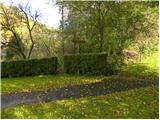 2
2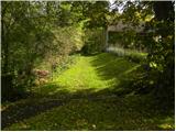 3
3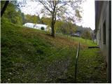 4
4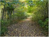 5
5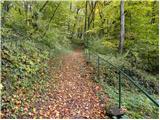 6
6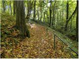 7
7 8
8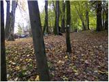 9
9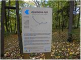 10
10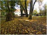 11
11 12
12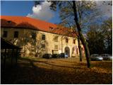 13
13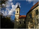 14
14 15
15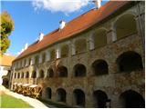 16
16