Grahovše - Tolsti vrh (via Plaz pod Vrati)
Starting point: Grahovše (800 m)
Starting point Lat/Lon: 46.3664°N 14.3518°E 
Path name: via Plaz pod Vrati
Time of walking: 3 h
Difficulty: difficult pathless terrain
Difficulty of skiing: no data
Altitude difference: 915 m
Altitude difference (by path): 940 m
Map: Karavanke - osrednji del 1:50.000
Access to starting point:
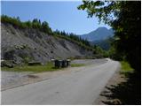
From highway Ljubljana - Jesenice we go to the exit Ljubelj (Tržič), and then we continue driving towards Ljubelj. Just before the gas station in Bistrica pri Tržiču we leave the main road and we continue driving right in the direction of Tržič. Further, we drive through Tržič in the direction of gorge Dolžanova soteska, and then at the end of the town we continue right in the direction of Lom pod Storžičem and Grahovše. When we get to Grahovše we drive on the road to the nearby quarry, by which there is settled parking lot.
Path description:
From the parking lot, we return on the road about 100 meters back, and then at the crossroad go on a side road which continues towards the south to southwest.
From the crossroad, we go towards the hamlet Hrib (Grahovše 11-17 and 27, 34), and then at the end of hamlet left on a cart track which is then moderately ascending by the edge of ample meadows. Cart track higher crosses a lane of a forest and then it brings us on a larger clearing, by the edge of which we notice feed site for animals. Cart track then semicircular ascends over clearing, and we ascend there to the upper part of the already mentioned clearing. Here we will on the right side notice a footpath, on which we continue. We continue through the forest and we continue the ascent on a beaten forest footpath, by which we notice some old blazes. An easy to follow path a little higher brings us to the next clearing, where we return on a cart track. Cart track we follow to the upper part of clearing (at the crossing in the middle of the turn, we continue left), and there we will notice the continuation of the footpath. A little higher footpath again becomes more distinct and for a short time steeply ascends. The path ahead brings us to a smaller clearing, where we continue right and then past an intermittent well again right in the forest. Only a little further, we get to a smaller wall, which the path bypasses on the right side and behind it steeply ascends. "marked" path towards Kriška gora, from smaller wall we follow only few minutes, and then we continue left on a smaller ridge, where we notice some sort of poorly beaten footpath. On the mentioned footpath we ascend to lane of dwarf pines, we quickly cross it and we are already on long scree named Plaz pod Vrati.
On the scree footpath vanishes completely, but direction of ascent is clear. We continue on the scree straight upwards, and higher it narrows and brings us in even a little steeper gully. We still continue on the scree, after we get to its upper edge, we continue slightly right on a steep footpath, on which we in a minute of additional walking ascend on the main ridge of Kriška gora, where we reach a marked path Koča na Kriški gori - Tolsti vrh.
When after strenuous ascent we reach a marked path, we follow it to the left, and it passes on the southern slopes of the peak Vrata, peak which we were during the ascent on the scree observing on our left side. The path further returns on the ridge and is all the time moderately ascending. Higher, we get to panoramic and precipitous secondary peak of Tolsti vrh, from which follows a short descent. The path ahead is for some time ascending through the forest and then it starts getting thinner and the path after few minutes of additional walking brings us on panoramic Tolsti vrh.
Pictures:
 1
1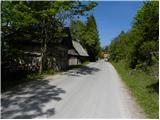 2
2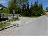 3
3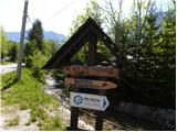 4
4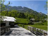 5
5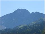 6
6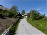 7
7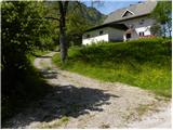 8
8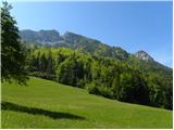 9
9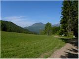 10
10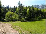 11
11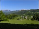 12
12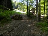 13
13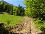 14
14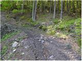 15
15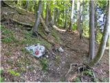 16
16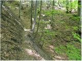 17
17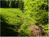 18
18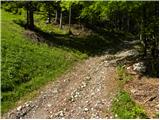 19
19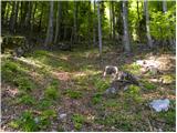 20
20 21
21 22
22 23
23 24
24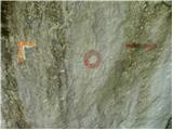 25
25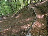 26
26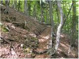 27
27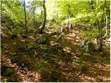 28
28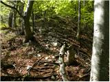 29
29 30
30 31
31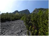 32
32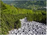 33
33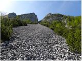 34
34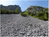 35
35 36
36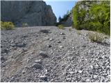 37
37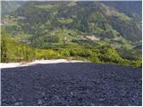 38
38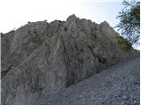 39
39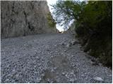 40
40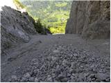 41
41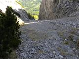 42
42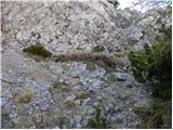 43
43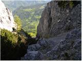 44
44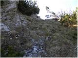 45
45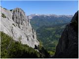 46
46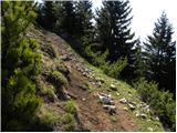 47
47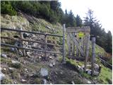 48
48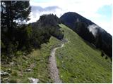 49
49 50
50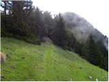 51
51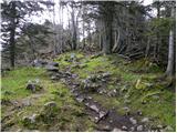 52
52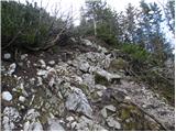 53
53 54
54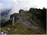 55
55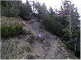 56
56 57
57 58
58 59
59 60
60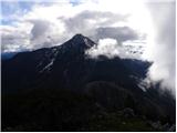 61
61