Grmovškov dom - Ribniška koča
Starting point: Grmovškov dom (1371 m)
Starting point Lat/Lon: 46.5024°N 15.2103°E 
Time of walking: 1 h 40 min
Difficulty: easy marked way
Difficulty of skiing: easily
Altitude difference: 136 m
Altitude difference (by path): 230 m
Map: Pohorje 1:50.000
Access to starting point:
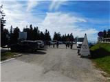
We drive to Slovenj Gradec, from where we continue towards the settlement Legen and ski slope Kope. We further follow the signs for Kope, and the ascending road we follow to a larger parking lot at the ski slope Kope.
Path description:
From the parking lot, we walk past Grmovškov dom pod Veliko Kopo and past other tourist and catering facilities to the saddle Pungart, from where we continue right in the direction of Črni vrh and Ribniška koča (left - Velika Kopa and Koča pod Kremžarjevim vrhom). At first, we ascend along a shorter ski lift, and then we continue on a worse macadam road which in few minutes brings us to a fenced area, where we continue by the wooden fence. A little higher, the road passes on the inner side of the fence, and we continue left by the fence, where the mountain path continues. A little higher we return on the road which meanwhile already became a wider cart track, and for some time we are still ascending by the fence, and then the path flattens and leaves the fenced area. At the gentle part, the path towards Mislinja branches off to the right, and we continue straight and we again start gradually ascending. A little higher from the crossing we continue slightly left (straight - Črni vrh) and through a meadow we pass into the forest, where we cross slopes of Črni vrh. After a shorter crossing from the right joins also few minutes longer path which leads via Črni vrh, and we continue straight and we gradually start descending. On a smaller saddle from the right side also the path from Mislinja joins, and we follow the blazes and signs for Ribniška koča and we gradually start lightly ascending. Higher, we on the right side bypass a fenced private cottage and behind it we get to an artificial lake on Mali Črni vrh, from where a beautiful view opens up.
From Mali Črni vrh we continue from the bad road slightly left on a marked path, and there we quickly descend to Ribniška koča.
The starting point - Mali Črni vrh 1:35, Mali Črni vrh - Ribniška koča 0:05.
Description and pictures refer to a condition in October 2022.
Pictures:
 1
1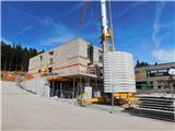 2
2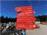 3
3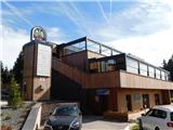 4
4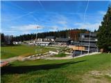 5
5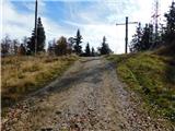 6
6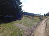 7
7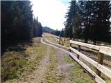 8
8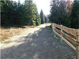 9
9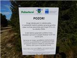 10
10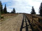 11
11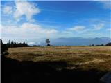 12
12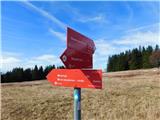 13
13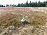 14
14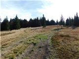 15
15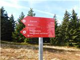 16
16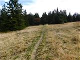 17
17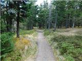 18
18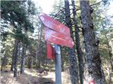 19
19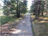 20
20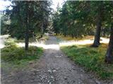 21
21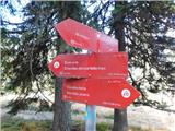 22
22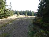 23
23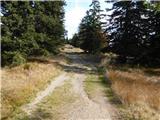 24
24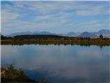 25
25 26
26 27
27 28
28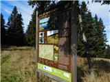 29
29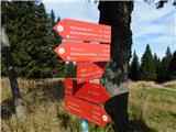 30
30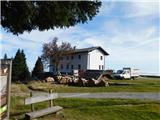 31
31