HE Ožbalt - Klančnik (Glančnik)
Starting point: HE Ožbalt (311 m)
Starting point Lat/Lon: 46.57524°N 15.40965°E 
Time of walking: 2 h 10 min
Difficulty: easy marked way
Difficulty of skiing: no data
Altitude difference: 566 m
Altitude difference (by path): 590 m
Map: Pohorje 1:50.000
Access to starting point:
From the road Maribor - Dravograd we drive to a crossroad at the bus stop HE Ožbalt, which is situated near hydropower plant HE Ožbalt, between the settlement Ožbalt and bridge Lovrenški most. At the starting point, there aren't any parking spots for mountaineers.
Path description:
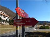
From the bus stop, we go on a marked path in the direction of Rdeči Breg and Hunting cottage Klančnik and on the road we quickly descend to HE Ožbalt, where we get to the fence.
We ring the bell and ask for permission to cross the area of hydropower plant HE Ožbalt, and on the other side of the river Drava we go right, once again over the fence.
The path ahead leads us between the railway and river Drava, and a little ahead we carefully cross a railway track and we continue on a marked path, which ascends above the railway. Next follows some diagonal ascent on a steep slope, and then the slope for some time flattens. A little further, we go left and we steeply ascend to a smaller ridge, where the path turns right and descends to the nearby road. We follow the road left upwards, and at the crossroads, we follow the blazes. Further, we are for a longer time ascending on the road which runs along Kapusov graben, and when we reach the saddle between Jurčičev vrh (838 meters) on the left and Klančnik (877 meters) on the right, we go right in the direction of Rdeči Breg and Hunting cottage Klančnik (straight - Puščava and Lovrenc na Pohorju), where we ascend on a cart track. Higher, we cross a bad macadam road, and behind it we are for some time ascending on a cart track. Higher the cart track narrows and blazes point us to the left, where we step out of the forest and then at the edge of the forest in few minutes we reach the peak Klančnik.
Description and pictures refer to a condition in February 2022.
On the way: Cigelnica (628m)
Pictures:
 1
1 2
2 3
3 4
4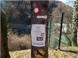 5
5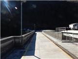 6
6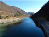 7
7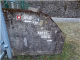 8
8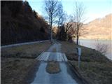 9
9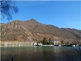 10
10 11
11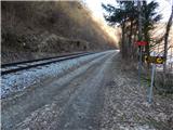 12
12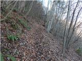 13
13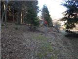 14
14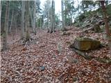 15
15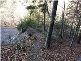 16
16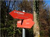 17
17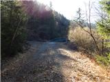 18
18 19
19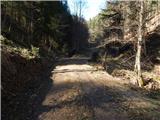 20
20 21
21 22
22 23
23 24
24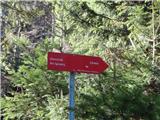 25
25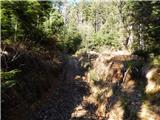 26
26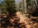 27
27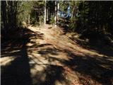 28
28 29
29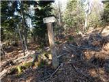 30
30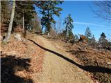 31
31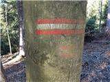 32
32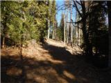 33
33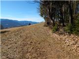 34
34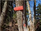 35
35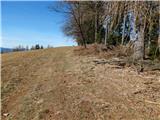 36
36 37
37 38
38