Hunting lodge Komenda - Sveta Ana (Tunjice)
Starting point: Hunting lodge Komenda (344 m)
Starting point Lat/Lon: 46.204°N 14.5566°E 
Time of walking: 1 h 40 min
Difficulty: easy marked way
Difficulty of skiing: no data
Altitude difference: 131 m
Altitude difference (by path): 175 m
Map:
Access to starting point:
From the road Moste - Kamnik, in the settlement Križ we drive in the direction of discount store Kmečki hram, and then through the settlement we follow the main road. When the settlement Križ ends, we soon go right, where we drive to the nearby hunting lodge Komenda near of which we park.
Path description:
From the hunting lodge we continue on the macadam road which at first lightly descends, and then it brings us out of the forest on a larger meadow. Few minutes we walk on the road which leads us through a meadow, and then blazes point us to the left on a cart track and over a bridge through stream Tunjščica. On the other side of the stream, the path narrows and at the crossings we follow the blazes. At first, we are few minutes ascending, after that from the left joins the path from the settlement Gora pri Komendi. Here we go right and we continue with some shorter ascents and descents, and from the left almost unnoticeably joins also unmarked path from the settlement Mlaka.
The path further leads on and by an indistinct ridge of Korinove drče, where it still continues with some easy ascents and shorter descends. When we eventually leave the forest, the path widens into a road, on which we start ascending past individual houses of the settlement Vinski Vrh, where at the crossroads we follow the blazes. Higher, at the chapel we continue slightly left and past and inscription box we ascend to a hill, on which stands the church of St. Ana.
Description and pictures refer to a condition in the year 2019 (November).
Pictures:
 1
1 2
2 3
3 4
4 5
5 6
6 7
7 8
8 9
9 10
10 11
11 12
12 13
13 14
14 15
15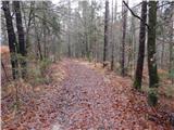 16
16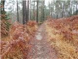 17
17 18
18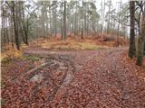 19
19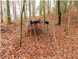 20
20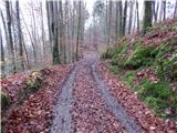 21
21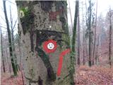 22
22 23
23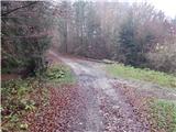 24
24 25
25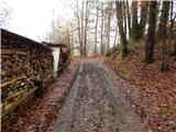 26
26 27
27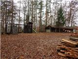 28
28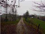 29
29 30
30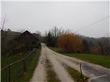 31
31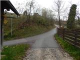 32
32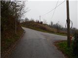 33
33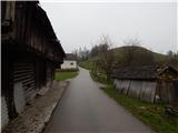 34
34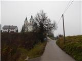 35
35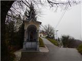 36
36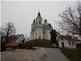 37
37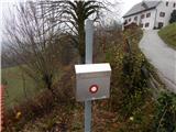 38
38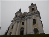 39
39