Hunting lodge LD Križevci v Prekmurju - Kamenek
Starting point: Hunting lodge LD Križevci v Prekmurju (360 m)
Starting point Lat/Lon: 46.7752°N 16.22667°E 
Time of walking: 30 min
Difficulty: easy unmarked way
Difficulty of skiing: no data
Altitude difference: 32 m
Altitude difference (by path): 65 m
Map:
Access to starting point:
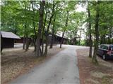
We drive to Murska Sobota, and then we follow the signs for Hodoš. In the settlement Gornji Petrovci we turn right towards Križevci, and from Križevci we follow the main road towards Kančevci. After the evangelical church in Križevci the settlement ends and we get to a smaller crossroad, where there is a hunting observatory. Here we leave the main road towards Kančevci and Sebeborci and we continue driving slightly right, and then after approximately 100 meters we go left, where we park on an appropriate place near the hunting lodge LD Križevci v Prekmurju.
Path description:
From the hunting lodge we return to the asphalt road, and then we continue towards the southwest. After few minutes, the road turns right (at the turn in the direction of straight a macadam road branches off, which descends towards the stream Ratkovski potok and then it ascends to a marked path Gornji Petrovci - Kančevci) and gradually passes into the forest. When we leave the forest at the smaller crossroad we go right, and after a short descent, we reach the above the mentioned marked path, which we follow to the right. Further, we are still ascending on an asphalt road, and there we quickly ascend near the peak Kamenek, where left from the path, we notice a trigonometric tower, to which we can't go because of the field.
Description and pictures refer to a condition in June 2021.
Pictures:
 1
1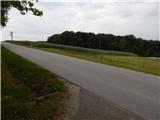 2
2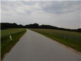 3
3 4
4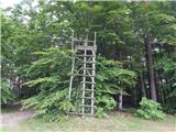 5
5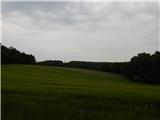 6
6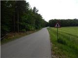 7
7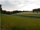 8
8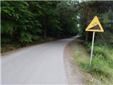 9
9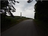 10
10 11
11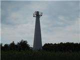 12
12