Hunting sports association Vinska Gora - Temnjak
Starting point: Hunting sports association Vinska Gora (650 m)
Starting point Lat/Lon: 46.3541°N 15.1758°E 
Time of walking: 25 min
Difficulty: easy marked way
Difficulty of skiing: no data
Altitude difference: 148 m
Altitude difference (by path): 150 m
Map:
Access to starting point:
Currently the road is closed due to remediation (closure applies from the church onwards), data from 20.4.2011
From the highway Ljubljana - Maribor we take the exit Žalec, and then we continue driving towards Velenje. Still before Velenje, we leave the main road, because signs for Vinska Gora direct us to the right onto a local road, which already after a few meters brings us to a crossroads. Here we continue left in the direction of the church of St. John the Baptist and we follow the ascending road to the mentioned church. From the church, we follow the signs for the hunting cottage (lovska koča), and on the still ascending road we drive to the hunting cottage, near which we park on an appropriate place.
Path description:
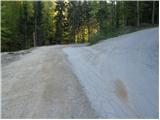
From the starting point, we first walk to the hunting cottage, and then we head on the path in the direction of Temnjak, Vinska gora and Vovk. The path at first leads along the road, from which soon a marked cart track branches off slightly to the left, which on the left side bypasses the local homestead. The cart track ahead crosses some electric fences, and then passes into a dense forest. Through the forest, we follow the blazes, and the cart track after a few minutes of relatively gentle walking brings us to a smaller indistinct ridge, where signs for Temnjak point us to the left on a somewhat steeper footpath. We ascend through a belt of bushes, and then the path flattens and in a gentle ascent through the forest brings us to the bench and logbook box on Temnjak.
Pictures:
 1
1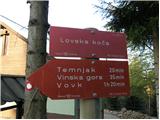 2
2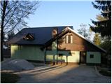 3
3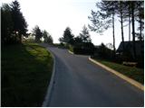 4
4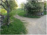 5
5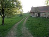 6
6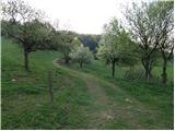 7
7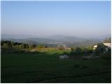 8
8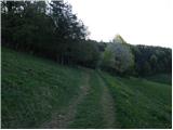 9
9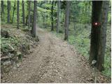 10
10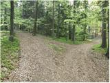 11
11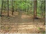 12
12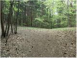 13
13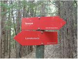 14
14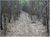 15
15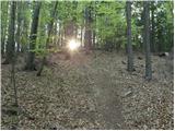 16
16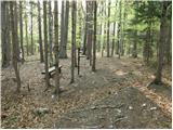 17
17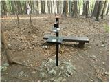 18
18