Janževski Vrh (Uran) - Klančnik (Glančnik) (via Brabar and Hudej)
Starting point: Janževski Vrh (Uran) (435 m)
Starting point Lat/Lon: 46.5557°N 15.3234°E 
Path name: via Brabar and Hudej
Time of walking: 1 h 35 min
Difficulty: easy marked way
Difficulty of skiing: no data
Altitude difference: 442 m
Altitude difference (by path): 442 m
Map: Pohorje - izletniška karta 1:50.000
Access to starting point:
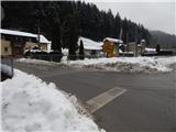
From the road Maribor - Dravograd, before the settlement Brezno we turn left (from the direction Dravograd right) in the direction of Podvelka, Ribnica na Pohorju and Ribniška koča. After the bridge over the river Drava we get to Podvelka, and the road further we follow in the direction of Ribnica na Pohorju. The path ahead brings us to the settlement Janževski Vrh, and through the valley of the stream Velka we drive to a crossroad at the inn and store Uran, where a road branches off to the left towards Lovrenc and Lehen na Pohorju. We park on a smaller settled parking lot by the crossroad.
Path description:
From the crossroad, we go on the left road, by which there are signs for Lovrenc na Pohorju, Ruše, Rdeči Breg and a road sign for Lehen na Pohorju (right - Janževski Vrh and Ribnica na Pohorju). Immediately after the crossroad, we cross the stream Velka and we get to the settlement Lehen na Pohorju, where we continue along the stream and past individual houses. When the valley widens a little we get to a smaller crossroad, from which we continue left in the direction of Rdeči Breg, Sveti Ignacij and hunting cottage (straight - driving road to the settlement Lovrenc na Pohorju). Only few 10 strides ahead a normal marked path branches off to the left to the church of St. Ignacij, and we continue straight, on the road, by which we further notice some local marks (marks lead to the settlement Lovrenc na Pohorju). The path ahead leads us through Brabarjev graben, where we at first still walk past houses, and higher the road passes into the forest and it starts ascending steeper. Higher, we reach a smaller crossroad, where we continue sharply left (straight - homestead Zgornji Povh) and we diagonally ascend to a smaller saddle, where we join the marked path from Lovrenc na Pohorju.
From the saddle, where on the right there is a religious symbol, we continue slightly right from the left road, where we continue on a cart track (we go on a cart track which is situated on the opposite side of the cross).
The path ahead leads us on a cart track, by which blazes are quite rare, and a little ahead, when we reach a bit wider cart track we continue right (if we continue left the cart track quickly ends), at first a little downwards, and when we get closer to the road, we go straight and we still continue on a cart track. Few steps we walk on a wider cart track, and then we go slightly left on a steeper cart track which soon comes out of the forest, where we notice signs for the church of St. Ignacij. We continue also through a lane of a forest and then we get to homestead Brabar, where we get again closer to a macadam road. We bypass the homestead on the left side, and then we go slightly right and we ascend to the edge of the forest, where the path splits.
We continue on a slightly left cart track, by which there are signs for Sveti Ignacij, and further follow few crossings, where we choose the cart track which is ascending, and at few crossings we can also notice signs or faded blazes. Higher, the path becomes more panoramic, and at the religious symbol we reach an asphalt road which we follow to the right (left - Sveti Ignacij and Hlebov vrh).
Already after few steps we get to homestead Hudej, which we bypass on the left side and we continue in the direction of Hunting cottage Klančnik (also Glančnik). Next follows few minutes of light to moderate ascent and the road brings us to the parking lot near the hunting cottage. And from the parking lot in a minute of additional walking, we walk to Hunting cottage Klančnik, from which a nice view opens up towards the main part of Pohorje.
From the hunting cottage, we go on the path in the direction of HE Ožbalt, so that we bypass the hunting cottage on the left side. Next follows few minutes of a panoramic ascent on a grassy slope and we reach 877 meters high peak.
The starting point - hunting cottage 1:30, hunting cottage - peak 0:05.
Description and pictures refer to a condition in December 2021 and February 2022.
Pictures:
 1
1 2
2 3
3 4
4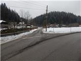 5
5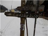 6
6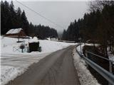 7
7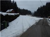 8
8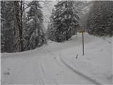 9
9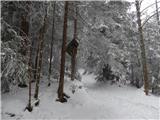 10
10 11
11 12
12 13
13 14
14 15
15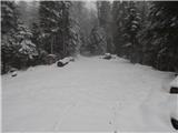 16
16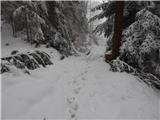 17
17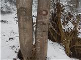 18
18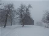 19
19 20
20 21
21 22
22 23
23 24
24 25
25 26
26 27
27 28
28 29
29 30
30 31
31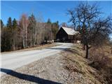 32
32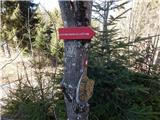 33
33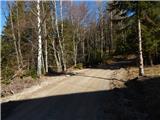 34
34 35
35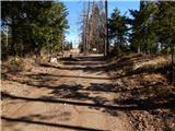 36
36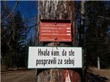 37
37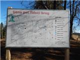 38
38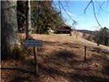 39
39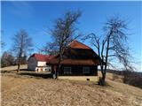 40
40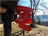 41
41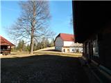 42
42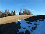 43
43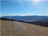 44
44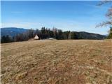 45
45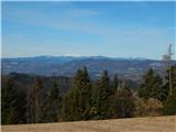 46
46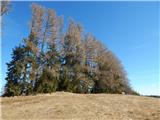 47
47 48
48