Jermanca - Turska gora (via Kamniško sedlo)
Starting point: Jermanca (900 m)
Starting point Lat/Lon: 46.3349°N 14.5848°E 
Path name: via Kamniško sedlo
Time of walking: 4 h 45 min
Difficulty: very difficult marked way
Difficulty of skiing: very demanding
Altitude difference: 1351 m
Altitude difference (by path): 1450 m
Map: Kamniške in Savinjske Alpe 1:50.000
Access to starting point:
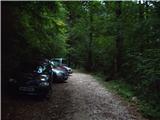
We drive to Kamnik and follow the road ahead towards the valley of Kamniška Bistrica. From the hut in Kamniška Bistrica we continue driving on the forest road which higher brings us to a crossroad, where we continue right towards Jermanca (straight starting point for Kokrsko sedlo). This occasionally a little more steep road we follow to a parking lot, which is located little before the end of the road.
Driving from the mountain hut in Kamniška Bistrica to Jermanca is now forbidden (traffic sign), this extends the path for a good hour.
Path description:
From the parking lot, we continue on the road by which we've parked. After few minutes, the road ends, and we continue on a footpath without large ascents or descents. The path which crosses large number of gullies after that joins the path from Kamniška Bistrica (lower starting point). Here we need to pay attention to the descent, that we go on the same path as we came from. Well marked and relatively steep path, which for some time is still ascending through the forest, higher brings us to a pleasant well (in dry periods dries up). From a well a short ascent follows and the path brings us to known resting place Pri Pastirjih, where there stands an emergency bivouac.
We continue straight on a marked path, which then quickly passes out of the forest on an ample panoramic meadow. Behind the meadow, the path goes in a lane of dwarf pines, where it starts ascending steeper again. The path which ahead runs on sunny side slope with increasingly beautiful view after a good hour of walking from Pastirji brings us to the mountain hut Koča na Kamniškem sedlu.
From the mountain hut on a saddle Kamniško sedlo we continue left in the direction of Brana on the path which over panoramic meadows brings us to a crossing, where we continue slightly left (right downwards Okrešelj). The path which is further ascending on the more and more rocky slope quickly brings us to scree, which is in snow dangerous for slipping. We walk the scree in a gentle diagonal ascent, and then the path brings us to the next crossing.
To the left upwards leads the path on Brana, and we continue slightly right and we still in ascent cross the slopes towards the west. From the scree, the path for a short time brings us on a grassy slope, and then the path becomes demanding. Here we descend left downwards on a well-secured indistinct groove, which brings us into a slightly crumbly gully. Next follows crossing of the steep slopes towards the west, which brings us to the notch Kotliči (1949m).
From the notch with the help of steel cables we descend to the south side of the ridge. Next follows a shorter little steeper descent and then the path starts again ascending on a slightly crumbly slope above Kotliški graben. With the help of few fixed safety gear we then again reach the ridge where we continue left. The path further short time runs by the ridge and then turns to the right and past memorial plate crosses an exposed slope secured with iron spikes. After that, the path becomes slightly less steep and it is ascending on a slope from which a nice view opens up towards Mrzla gora. Later, the path again turns to the left and crosses very steep slope. The path then turns to the right and then follows an ascent on a slightly crumbly gully, which brings us below draught-hole named Sod brez dna (bottomless barrel).
Next follows a little more demanding ascent through a draught-hole where we few meters almost vertically ascend with the help of steel cables. Above the draught-hole we for some time walk on a relatively wide and panoramic ridge and then we start descending a little steeper with the help of few fixed safety gear. Next follows a very short vertical descent on stemples, which brings us into a narrow notch. From the notch, we continue left downwards, and then the path turns to the right and with the help of few iron spikes ascends through the gully, which brings us above the already mentioned narrow notch. Above the notch we continue left and the path further leads on a little less demanding slope, which is partly covered with grass. Further, the slope becomes again rocky and to the top of Turska gora follows an ascent on panoramic eastern slope of the mountain. When we reach the peak breathtaking view opens up towards the west where there are well visible Grintovec, Skuta and Rinke.
Jermanca - Pri Pastirjih 1:15, Pri Pastirjih - Kamniška koča 1:15, Kamniška koča - Turska gora 2:15.
Trip can be extended to: Brana
Pictures:
 1
1 2
2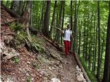 3
3 4
4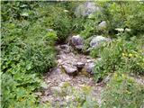 5
5 6
6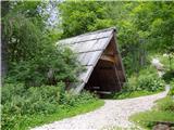 7
7 8
8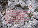 9
9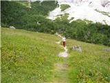 10
10 11
11 12
12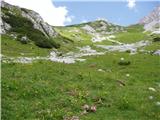 13
13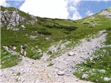 14
14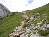 15
15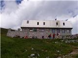 16
16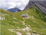 17
17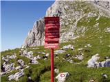 18
18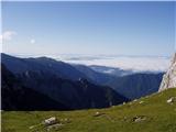 19
19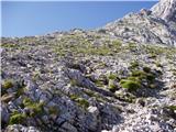 20
20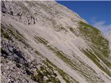 21
21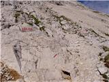 22
22 23
23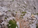 24
24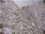 25
25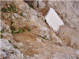 26
26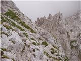 27
27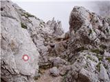 28
28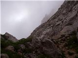 29
29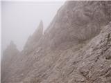 30
30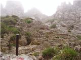 31
31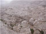 32
32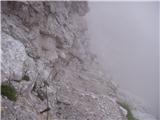 33
33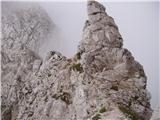 34
34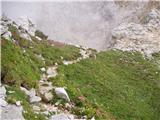 35
35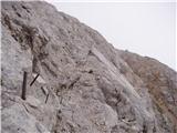 36
36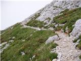 37
37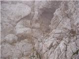 38
38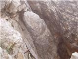 39
39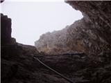 40
40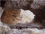 41
41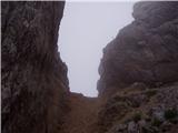 42
42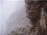 43
43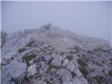 44
44