Jeršiče - Mali Javornik (Javorniki)
Starting point: Jeršiče (650 m)
Starting point Lat/Lon: 45.7748°N 14.2305°E 
Time of walking: 1 h 50 min
Difficulty: easy marked way
Difficulty of skiing: no data
Altitude difference: 569 m
Altitude difference (by path): 580 m
Map: Snežnik 1:50.000
Access to starting point:
A) From highway Koper - Ljubljana we go to the exit Postojna, and then we drive towards the center of Postojna. In the mentioned settlement we will notice signs for Pečna reber and railway station, which point us to the right, after that approximately 200 meters before the railway station we turn left (crossroad isn't marked) on the road which soon leads over the highway. On the other side of the highway we come on a crossroad, where a road towards Stara vas branches off to the right, and we continue in the direction of Javornik and Sveta Trojica. A little further, by the monument of NOB, the road towards Pečna reber branches off to the left, and here on an appropriate place we park.
B) From highway Ljubljana - Koper we go to the exit Unec, and then we continue driving towards Unec and Cerknica. In the settlement Unec we leave the main road towards Cerknica and we continue driving right in the direction of Postojna. Further, we drive on a little narrower road which continues parallel with a highway. When after few kilometers through the underpass we get to the other side of the highway, on first crossroad we continue straight. When we again return on original side of the highway at the crossroads we continue left or in the direction of Pečna reber and Sveta Trojica. When we soon get to a crossroad, where the road towards Pečna reber branches off to the left, and to the right the road continues towards Sveta Trojica, we will between the both roads notice NOB monument. We park on an appropriate place near the crossroad.
Path description:
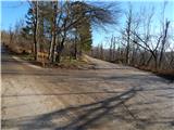
From the starting point by a smaller NOB memorial park, we continue on a slightly right road in the direction of Sveta Trojica. We continue on a macadam road, from which soon a marked path branches off slightly to the right, at first road towards Sveta Trojica, and we continue on the upper road which leads by the foot of the Javorniki. Further for quite some time, we walk on a slightly ascending road which eventually brings us to a marked crossroad, where the road and marked path branch off to the left towards Javorniki.
We continue on the mentioned road, after that at first left turn we continue right into the forest, on a marked footpath which starts moderately to steeply ascending. During the ascent, at few smaller crossings we follow the blazes, and then we return on the road and we follow it to the right. Few minutes we walk on the road, and then signs for Mali Javornik point us to the left, at first on a cart track which starts moderately ascending. After a short ascent on a cart track blazes point us to the left on a marked path, which is because of sleet in December 2014 damaged or covered with branches. When we break through a lane of the fallen trees, we step out of the forest, where the path leads us past a smaller bench, from which a nice view opens up on surrounding hills. A little behind the bench the path turns right, and then in a gentle ascent quickly brings us on mostly forested peak.
Description and pictures refer to a condition in the year 2015 (December).
Pictures:
 1
1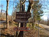 2
2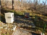 3
3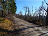 4
4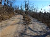 5
5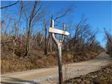 6
6 7
7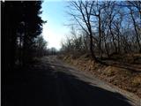 8
8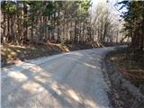 9
9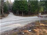 10
10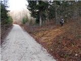 11
11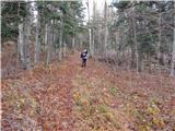 12
12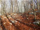 13
13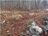 14
14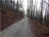 15
15 16
16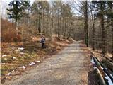 17
17 18
18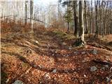 19
19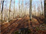 20
20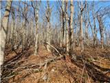 21
21 22
22 23
23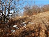 24
24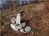 25
25 26
26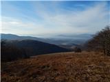 27
27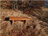 28
28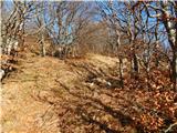 29
29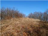 30
30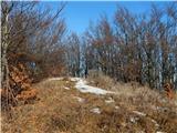 31
31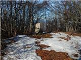 32
32