Starting point: Jesenica (693 m)
Starting point Lat/Lon: 46.1494°N 13.9503°E 
Time of walking: 1 h 45 min
Difficulty: easy marked way
Difficulty of skiing: no data
Altitude difference: 610 m
Altitude difference (by path): 610 m
Map: Škofjeloško in Cerkljansko hribovje 1:50.000
Access to starting point:
A) First, we drive to the center of Cerkno (to here from the road Idrija - Most na Soči, or from Gorenja vas and Žiri over mountain pass Kladje, or from Zali Log through Davča...), and then we continue driving in the direction of Zakojca. Only few meters behind that, when we went in the direction of Zakojca, the road towards the village Zakriž branches off to the left, through which leads steep shortcut, and we continue on the road which continues along the stream Zapoška. Higher, the road leads through villages Trebenče, Gorje, and then after crossing of slopes, on the upper side we bypass village Zakriž, where joins already mentioned shortcut. A little further, the road turns more to the right, and after few kilometers of crossing we get to the beginning of the village Jesenica, where we notice the first signs for saddle Vrh Ravni, Kojca and Porezen, which point right, and we continue left towards the main part of the village, where we park on an appropriate place by the recycling spot. At the starting point, there is also a bus stop and memorial plaque.
B) From Most na Soči or Bača pri Modreju we drive towards Idrija, and after the settlement Reka, right before we cross the stream Jesenica we continue sharply left, and at the next crossroad sharply right in the direction of Orehovška grapa. After few kilometers of relatively steep road we get to the village Orehek, little above the village we join diagonal road below Kojca, which we follow to the right. When we get to the village Jesenica, we park on an appropriate place by the recycling spot. At the starting point, there is also a bus stop and memorial plaque.
C) From Bača pri Modreju we drive towards Podbrdo or vice versa, and then in the settlement Grahovo ob Bači we turn in the direction of Zakojca and Bukovo. Further for quite some time, we drive on winding and ascending road, and then at the marked crossroad we continue right in the direction of Cerkno (left Zakojca). Next follows crossing of Kojca, after we get to the village Jesenica, we park on an appropriate place by the recycling spot. At the starting point, there is also a bus stop and memorial plaque.
Path description:
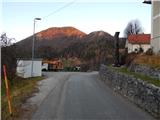
Few strides southeast from the starting point, we notice signs for Kojca and Porezen, which point us to the left on an asphalt road which starts ascending steeply through the village. With a view on Kojca we are ascending past few houses, and then the asphalt ends, and the path leads us past individual houses. Behind the last house the road changes into a cart track, on which in few minutes of additional walking, we ascend on a saddle Vrh Ravni, where there is a crossing of numerous paths.
From the saddle Vrh Ravni we continue left on a cart track in the direction of Kojca. We follow a moderately ascending cart track approximately 15 minutes, and then signpost points us left on an increasingly steep footpath. The path which runs through the forest, then past a well brings us to a pleasant resting place Lipje, where from the left joins the path from the village Orehek.
The path ahead returns into a dense forest and starts ascending even steeper. Higher, the steepness decreases and the path turns right. Next follows few minutes of crossing of steep slopes and the path brings us to a crossing, where from the right side, the path from the village Zakojca joins.
We continue sharply left in the direction of Kojca on a hunting path, which only a little further brings us on the main ridge of the mentioned peak. Here the path turns a little to the right and it starts ascending steeply again on the more and more panoramic upper slope of the mountain. Higher, the steepness decreases and the path brings us out of the forest on grassy slopes, on which we then in few minutes of panoramic walking ascend to the summit of Kojca.
On the way: Preval Vrh Ravni (826m)
Pictures:
 1
1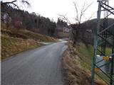 2
2 3
3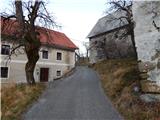 4
4 5
5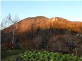 6
6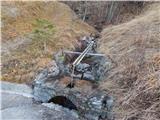 7
7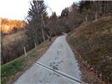 8
8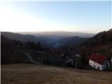 9
9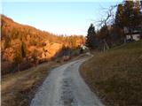 10
10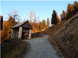 11
11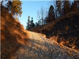 12
12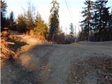 13
13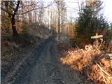 14
14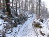 15
15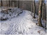 16
16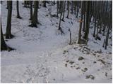 17
17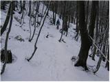 18
18 19
19 20
20 21
21 22
22 23
23 24
24 25
25 26
26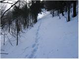 27
27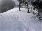 28
28 29
29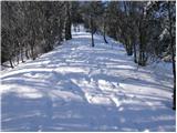 30
30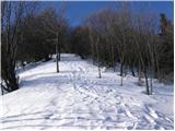 31
31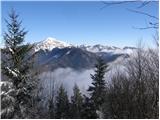 32
32 33
33 34
34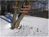 35
35 36
36