Jezersko polje - Peč (viewpoint)
Starting point: Jezersko polje (532 m)
Starting point Lat/Lon: 46.2819°N 13.882°E 
Time of walking: 35 min
Difficulty: easy marked way
Difficulty of skiing: no data
Altitude difference: 118 m
Altitude difference (by path): 130 m
Map: TNP 1:50.000
Access to starting point:
We drive to Bohinjska Bistrica, and then we continue driving towards Lake Bohinj. When in Ribčev Laz we get to the lake we continue right over a bridge and past the church of St. John the Baptist we drive to the nearby crossroad, where signs for a parking lot point us to the left. From the crossroad, we drive for approximately 300 meters and then we park on a parking lot near the lake. The parking lot is payable, payable is also majority of the nearby parking lots. Settled free parking lot is at the beginning of Ribčev Laz, this extends the path for approximately 15 minutes.
Path description:
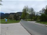
From the parking lot, we return to the road which leads towards Stara Fužina, and we continue on a sidewalk to Stara Fužina. At the beginning of the mentioned settlement we notice signs for climbing area Peč, Rudnica and cycling path, which point us to the right on the bridge over the river Mostnica. On the other side of the bridge we continue straight, after that few steps ahead, when cycling path turns right, we continue straight on a footpath in the direction of Peč and Rudnica. The path ahead leads through the forest, and here and there leads us also past some shorter viewpoint. When after few minutes of ascent, the path flattens we continue right in the direction of Peč (straight Rudnica).
Next follows few minutes of crossing towards the right and the path brings us to a pleasant viewpoint.
Description and pictures refer to a condition in the year 2016 (May).
Pictures:
 1
1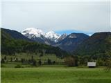 2
2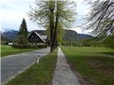 3
3 4
4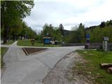 5
5 6
6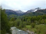 7
7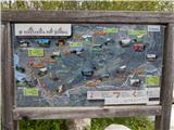 8
8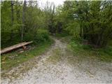 9
9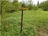 10
10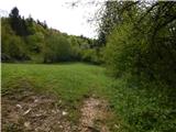 11
11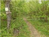 12
12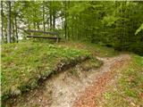 13
13 14
14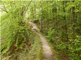 15
15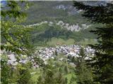 16
16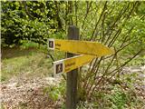 17
17 18
18 19
19 20
20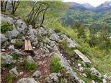 21
21 22
22