Kebelj - Kebelj castle (Castle Zajec) (eastern path)
Starting point: Kebelj (717 m)
Starting point Lat/Lon: 46.4115°N 15.45547°E 
Path name: eastern path
Time of walking: 20 min
Difficulty: easy marked way
Difficulty of skiing: no data
Altitude difference: 96 m
Altitude difference (by path): 96 m
Map: Pohorje 1:50.000
Access to starting point:
We drive to Oplotnica (to here from Štajerska highway exit Slovenske Konjice or Slovenska Bistrica - south), and then we at first follow the signs for Osankarica, and then the signs for the settlement Kebelj. When we get to Kebelj we park in the center of the settlement at Dom Kebelj.
Path description:
From the parking lot, we continue on the road which leads us through the settlement, and when Kebelj ends we choose the slightly left road, by which there are signs for Rogla, Osankarica and Nadgrad. On the asphalt road, we ascend also on the left and right hairpin turn, and only a little after the right hairpin turn signs for Castle Zajec point us to the left on a cart track. Next follows a shorter ascent through the forest and we join the marked path with the starting point in Oplotnica or at the cemetery in Kebelj.
Here we go right and in few minutes of additional walking, we ascend to Kebelj castle or Castle Zajec.
Description and pictures refer to a condition in April 2022.
Pictures:
 1
1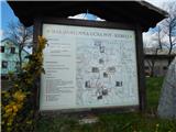 2
2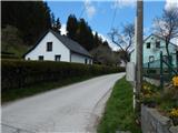 3
3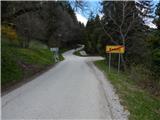 4
4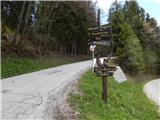 5
5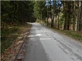 6
6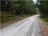 7
7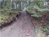 8
8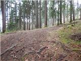 9
9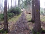 10
10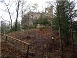 11
11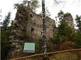 12
12