Klemenčevo - Kamniški vrh (on southwest slope)
Starting point: Klemenčevo (600 m)
Starting point Lat/Lon: 46.2739°N 14.5659°E 
Path name: on southwest slope
Time of walking: 1 h 45 min
Difficulty: easy unmarked way
Difficulty of skiing: no data
Altitude difference: 659 m
Altitude difference (by path): 659 m
Map: Kamniško - Savinjske Alpe, 1 : 50.000, PZS
Access to starting point:
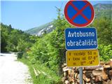
From Kamnik we drive towards Stahovica. Immediately after the village Godič we turn left on the road in the direction of Županje njive, and at the next crossroad, we go left in the direction of Bistričica. We follow the road to the village Klemenčevo, we drive past the sign, which marks the beginning of the settlement to the very settlement, past the turning point for bus, and then we park on a smaller parking lot few ten meters ahead from the turning point, on the right edge of the road, just before the turn-off of narrower path (cart track), which descends a little towards the riverbed of Bistričica (it is also possible to park few 10 meters ahead by the road, if there isn't enough space). The path towards the riverbed branches off to the right at the spot, where the road, on which we came from, ascends a little steeper and slightly turns to the left.
Path description:
From the parking lot, we go on a narrower path, which branches off to the right downwards and it quickly brings us to a shallow riverbed of Bistričica, which we cross twice (on stones, the bridge isn't there). Cart track then mostly lightly, and short time also a little steeper ascending by the meadow and through a thin forest. We soon come to the crossing, we stick to the wider cart track to the right. A little later we get to a grazing fence on a cart track, and behind it cart track path, on which we walk, turns to the right. At the spot, where the cart track turns to the right, otherwise another path branches off upwards to the left, but it is worse and higher it joins the path, on which we walk. We soon come out of the forest and on our right we see the grazing fence, and we ascend on a small footpath which points us past it upwards. The footpath brings us on a panoramic slope, on which we run into a bench, and after a short ascent from the bench ahead we come again to a grazing fence, which we cross. At this spot, we got to a crossroad of unmarked footpath on which we walk, with the marked path, which on our right comes from the hamlet Slevo. This marked path we only cross and we ascend ahead in our current direction (we don't continue slightly left on a marked path), on a well visible path (wide cart track), which is then all the time ascending on the right edge of the mountain pasture Ravne senožeti. When we come past decaying wooden shack (on our left), the path ascends steeper and it soon brings us to the crossing. To the left upwards leads demanding, very steep path, which is ascending by the edge of the gully named Slevška roža, and we continue straight, on a footpath which quickly brings us to a little clumsy crossing of the scree, which is descending from this gully steeply downwards. This area is short, only about 30 meters, but because of the angle of the scree a calm step is needed because of the danger of slipping. After that we come on an ample grassy southwest slope of Kamniški vrh, which on a very narrow, but well-beaten footpath we cross in a very moderate ascent towards the south. The footpath brings us to the vantage point with a bench, which is right from our path, and the path on this spot turns to the left and it ascends a little steeper and it soon brings us to a crossroad with signposts. From the right side here joins the path from Stahovica and Županje njive, and signpost to the left pointing in the direction Kamniški vrh and mountain pasture Osredek. Straight upwards direct path steeply ascends on Kamniški vrh, and we go to the left footpath which then in relatively steep ascent ascends to a saddle, where we go right, on a wide steep path on Kamniški vrh, which we reach in additional 10 minutes of walking, and we get to the inscription box and a stamp. And few minutes further on a footpath we get to the vantage point with some benches and bivouac.
Pictures:
 1
1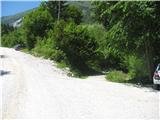 2
2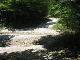 3
3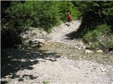 4
4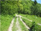 5
5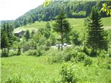 6
6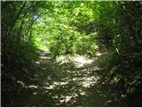 7
7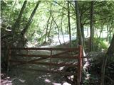 8
8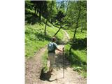 9
9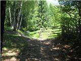 10
10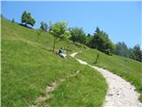 11
11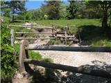 12
12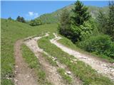 13
13 14
14 15
15 16
16 17
17 18
18 19
19 20
20 21
21 22
22 23
23 24
24 25
25 26
26 27
27 28
28 29
29 30
30 31
31 32
32