Koča na Klopnem vrhu - Koča na Pesku
Starting point: Koča na Klopnem vrhu (1260 m)
Starting point Lat/Lon: 46.5018°N 15.3991°E 
Time of walking: 2 h 15 min
Difficulty: easy marked way
Difficulty of skiing: no data
Altitude difference: 126 m
Altitude difference (by path): 300 m
Map: Pohorje 1:50.000
Access to starting point:
A) First, we drive to Dravograd, and then we continue driving towards Maribor. Soon after settlements Ožbalt we leave the main road and we continue driving right through a bridge over the river Drava in the direction of the settlement Lovrenc na Pohorju. On the other side of the river the road starts ascending a little and soon brings us to the next crossroad, where we continue left in the direction of village Činžat (right Lovrenc na Pohorju). In Činžat, where joins also the road from Ruše we continue right in the direction of the mountain hut Koča na Klopnem vrhu. Above the village, the road becomes a macadam, and it is at first ascending by the stream Lamprehtov potok. Higher, the road leads past the farm Lampreht, and at the crossroads, we follow the road in the direction of the mountain hut Koča na Klopnem vrhu. When we get to the mentioned mountain hut, we park on an appropriate place nearby.
B) We drive into Ruše (to here from Maribor or Selnica ob Dravi) and then we continue driving towards Lovrenc na Pohorju. When we get to the village Činžat, we leave the road which leads towards Lovrenc na Pohorju and we continue driving left on at first still asphalt road in the direction of the mountain hut Koča na Klopnem vrhu. Above the village, the road becomes a macadam, and it is at first ascending by the stream Lamprehtov potok. Higher, the road leads past the farm Lampreht, and at the crossroads, we follow the road in the direction of the mountain hut Koča na Klopnem vrhu. When we get to the mentioned mountain hut, we park on an appropriate place nearby.
C) From highway Ljubljana - Maribor we go to the exit Slovenske Konjice and we continue driving towards the mentioned settlement. From Slovenske Konjice we continue towards Zreče, and further we follow the road in the direction of Rogla. When we get to Rogla we continue driving on the main road, and there we descend to the mountain hut Koča na Pesku. At the mentioned mountain hut we continue right in the direction of Osankarica and mountain hut Koča na Klopnem vrhu. Further on all next crossroads we follow the macadam road in the direction of the mountain hut Koča na Klopnem vrhu. We park on an appropriate place near the mentioned mountain hut.
Path description:
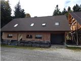
On the south side of the mountain hut we notice signs for Klopni vrh and Pesek, which point us on the path which ascends diagonally through the forest. Cart track, on which we walk in few minutes brings us on a macadam road, on which we continue the ascent. From the road soon the first path on Klopni vrh branches off to the right, and the turn-off isn't marked, and few minutes ahead also the second path, the latter turn-off is marked with signposts.
We continue in the direction of Pesek and we continue walking on the road which starts gradually descending, when after a short descent, we reach a swampy part named Skrbinsko borovje we go from the road left on a marked path, which is further because of the swamp quite wet. The path mostly continues by the cart track, and on less muddy parts also on a cart track. Next follows few shorter ascents and descents, and then we reach a marked crossing, where from the left joins also a marked path from Osankarica, and a little ahead we reach a macadam road which we follow to the right, and we walk there to the left turn, where blazes for Rogla point us straight on a cart track which for some time steeply ascends. Next follow few crossings, where we follow blazes, and the path continues on and by the cart track, from which for some time a nice view opens up towards Rogla and the lookout tower there. Next follows a little longer descent and at the Zgornja brv we reach a crossroad and marked crossing.
We continue straight on the road which leads towards Koča na Pesku and Rogla (right downwards on a marked path Lovrenc na Pohorju), when the road turns a little to the left we leave it and at the poorly marked crossing we continue straight on a cart track. On the cart track, we ascend steeper, and at numerous crossings we carefully follow the blazes. The path higher flattens, and at the area named Kocafurova koča it turns left, where few minutes continues with some shorter ascents and descents. Later follows some of moderate descent and when we leave the forest we get to Koča na Pesku.
Koča na Klopnem vrhu - Zgornja brv 1:15, Zgornja brv - Koča na Pesku 1:00.
Description and pictures refer to a condition in the autumn 2021.
On the way: Zgornja brv (1270m)
Pictures:
 1
1 2
2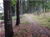 3
3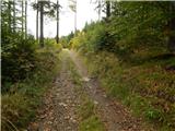 4
4 5
5 6
6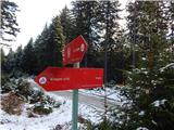 7
7 8
8 9
9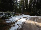 10
10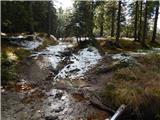 11
11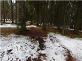 12
12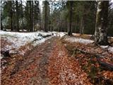 13
13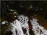 14
14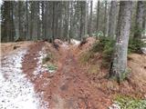 15
15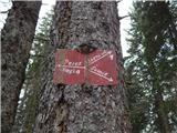 16
16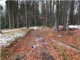 17
17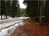 18
18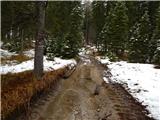 19
19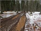 20
20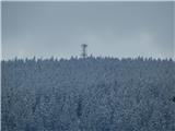 21
21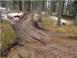 22
22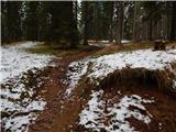 23
23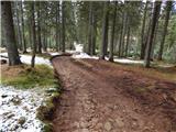 24
24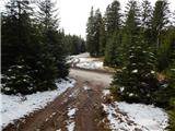 25
25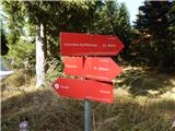 26
26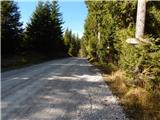 27
27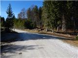 28
28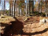 29
29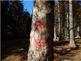 30
30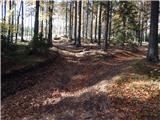 31
31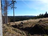 32
32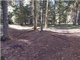 33
33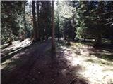 34
34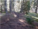 35
35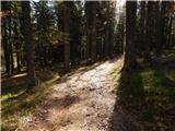 36
36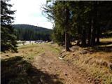 37
37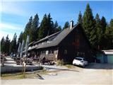 38
38