Koča na Pesku - Lovrenška jezera
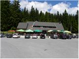
Starting point: Koča na Pesku (1386 m)
Starting point Lat/Lon: 46.467°N 15.3441°E 
Time of walking: 1 h 30 min
Difficulty: easy marked way
Difficulty of skiing: easily
Altitude difference: 134 m
Altitude difference (by path): 200 m
Map: Pohorje 1:50.000
Access to starting point:
A) From highway Ljubljana - Maribor we go to the exit Slovenske Konjice and we continue driving towards the mentioned settlement. From Slovenske Konjice we continue towards Zreče, and further we follow the road in the direction of Rogla. When we get to Rogla we continue on the main road which for some time continues without large changes in altitude, and then turns to the left and gradually starts descending. The mentioned road, we follow to the mountain hut Koča na Pesku, where we park on a parking lot near the mountain hut.
B) First, we drive to Lovrenc na Pohorju (to here from the road Maribor - Dravograd), and then we continue driving towards Rogla and Koča na Pesku. Further macadam road then at first brings us to Mašinžaga and then also to the mountain hut Koča na Pesku. We park on a parking lot at the mountain hut Koča na Pesku.
Path description:
From the mountain hut Koča na Pesku we continue on the road in the direction of Mašin Žaga. The road is at first descending through a small valley between Rogla on the left and Pesek on the right, and then it brings us to Mašin Žaga, where there is a smaller artificial lake.
We continue left in the direction of Lovrenška jezera and Ribniška koča, and the mentioned lake we bypass on the left side. On the other side of the lake signs for Lovrenška jezera and the path Šotna pot point us to the right, where we go over a wooden bridge. Few 10 strides we continue parallel with the stream and then we go left upwards, where blazes point us to. The path ahead gradually starts ascending a little more, and after approximately 25 minutes of ascent we reach a marked crossing, where we join the path from Rogla.
We continue right in the direction of Lovrenška jezera (left - Rogla), where we continue with some crossing and shorter ascents and descents, and then we start ascending on a partly paved path, where we are ascending on a wooden pavement. Higher, the path flattens and we get to a crossing, where we go right towards the lakes Lovrenška jezera (left - Ribniška koča and Rogla on the western path).
Only few 10 strides further we get to a lookout tower, from which a nice view opens up towards the plateau, where there are located the lakes, and from the tower we continue on a wooden pavement, which among dwarf pines take us to the lakes.
Pictures:
 1
1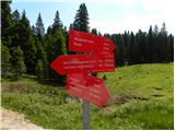 2
2 3
3 4
4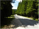 5
5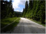 6
6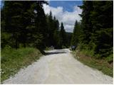 7
7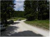 8
8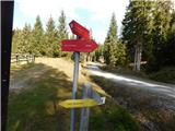 9
9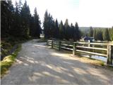 10
10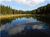 11
11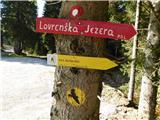 12
12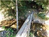 13
13 14
14 15
15 16
16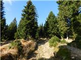 17
17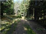 18
18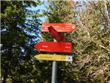 19
19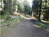 20
20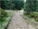 21
21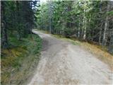 22
22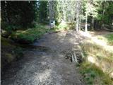 23
23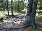 24
24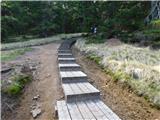 25
25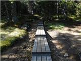 26
26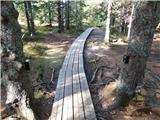 27
27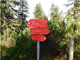 28
28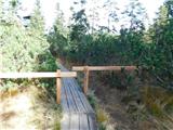 29
29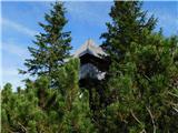 30
30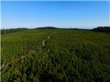 31
31 32
32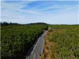 33
33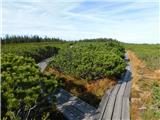 34
34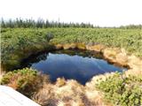 35
35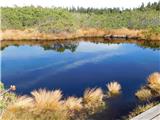 36
36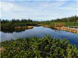 37
37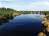 38
38