Kokra (Podlebelca) - Planina Dolga njiva (Krvavec)
Starting point: Kokra (Podlebelca) (559 m)
Starting point Lat/Lon: 46.319°N 14.4986°E 
Time of walking: 3 h
Difficulty: partly demanding marked way
Difficulty of skiing: more demanding
Altitude difference: 1129 m
Altitude difference (by path): 1129 m
Map: Kamniške in Savinjske Alpe 1:50.000
Access to starting point:
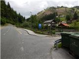
A) We drive to Preddvor or to the settlement Tupaliče, which is situated by the main road Kranj - Zgornje Jezersko, and then we continue driving in the direction of Jezersko. When we already get to the settlement Kokra, at the road sign between 8.5 km and 8 km, we turn right over a bridge in hamlet Podlebelca, where there is the beginning of the described path. At the starting point, there aren't any parking spots, we park on an appropriate place somewhere nearby.
B) From Jezersko we drive towards Preddvor, at the road sign between 8 km and 8.5 km, we turn left over a bridge in hamlet Podlebelca, where there is the beginning of the described path. At the starting point, there aren't any parking spots, we park on an appropriate place somewhere nearby.
Path description:
After the bridge, we notice red hiking signposts, which point us on the road which ascends through the hamlet Podlebelca. Past the houses we follow the blazes, and above the hamlet asphalt ends. After a short ascent through the forest we get to a bigger chapel, behind which we go left on a marked cart track. Cart track immediately splits, and we choose right, by which also blazes continue. A little higher we reach an asphalt road which leads towards farms Roblek, Pestotnik and Lovrin, and we walk there to the first right turn. After the turn continues a footpath which quickly ascends to the spot, where we cross the road which leads to the farm Lovrin. We continue through the forest, and the path gradually passes on an indistinct forested ridge, on and by which it is then ascending. Higher, we cross an asphalt road which leads towards the farm Roblek, and we are for few minutes ascending steeper, and then we join the cart track which leads from the farm Roblek.
We continue straight, on at first a wide cart track which we soon leave because blazes point us to the right on a footpath. Still, not very steep path then brings us to bigger rock, where there is the next this time marked crossing. We continue straight (right Krvavec) on the path which gradually starts ascending steeper and higher brings us below a wide rockfall, which is seen already from the valley of river Kokra. The path avoids rockfall a little to the left, after that when we are already little higher turns right and it gets very close to rocky cliffs on our right. The path ahead in a moderate ascent brings us in short lane of dwarf pines after which we come to Lojtra. Lojtra is slightly exposed passage on a wide and well-secured ledge. When we walk this part, only a short crossing of slopes follows (steel cable), after that steepness of slopes decreases. Further, we continue on a path, which is ascending through dwarf pines. After 15 minutes dwarf pines end and the path brings us on an ample pastures of Dolga njiva, where we come to a crossing. We continue straight (right Krvavec) and after few additional strides path brings us to an old shepherd hut on the mentioned mountain pasture.
Pictures:
 1
1 2
2 3
3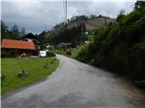 4
4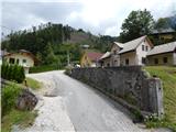 5
5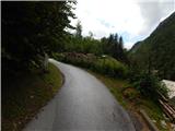 6
6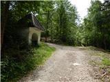 7
7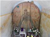 8
8 9
9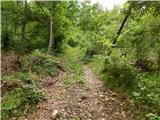 10
10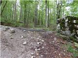 11
11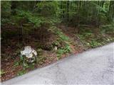 12
12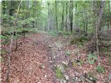 13
13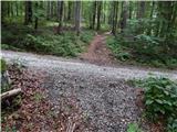 14
14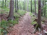 15
15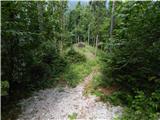 16
16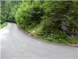 17
17 18
18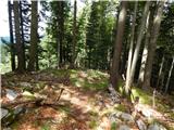 19
19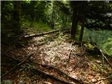 20
20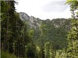 21
21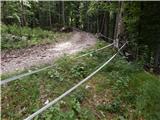 22
22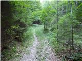 23
23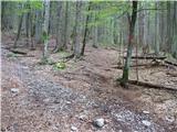 24
24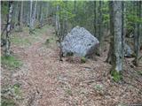 25
25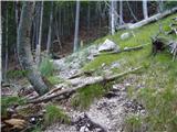 26
26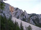 27
27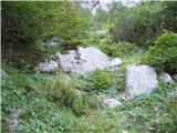 28
28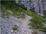 29
29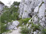 30
30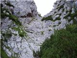 31
31 32
32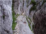 33
33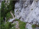 34
34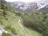 35
35 36
36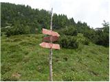 37
37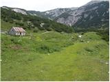 38
38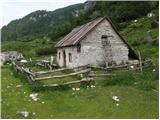 39
39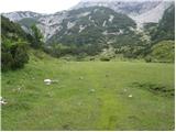 40
40 41
41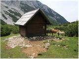 42
42