Kosmačev preval - Črna gora
Starting point: Kosmačev preval (847 m)
Starting point Lat/Lon: 46.4369°N 13.9308°E 
Time of walking: 1 h 15 min
Difficulty: easy unmarked way
Difficulty of skiing: partly demanding
Altitude difference: 503 m
Altitude difference (by path): 503 m
Map: TNP 1:50.000
Access to starting point:
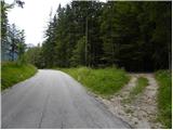
We leave the Gorenjska motorway at the Hrušica exit and follow the road ahead in the direction of Kranjska Gora. Just a little before the village of Dovje, the road to Mojstrana (Vrata, Kot and Krma) branches off to the left from the main road. We follow the road ahead in the direction of the village of Radovna and the valleys of Krma and Kot. The relatively steep road then passes the TNP sign, after which the road soon flattens and brings us to a junction, where the road into the Kot valley branches off to the right. We park on the parking lot by the road, which is located already about 20 m before the junction.
Path description:
From the parking lot, we head onto a cart track that runs parallel to the road in a gentle ascent. After two minutes of walking, another cart track branches off to the left, which we take. Smaller cairns are placed along the cart track. Further on, the cart track ascends straight up the slope. Then suddenly the cart track disappears, as it has been buried by fallen trees. Here we continue straight ahead and after a few metres we reach the cart track again. The cart track then turns into a footpath that begins to ascend steeply. The path is poorly visible, but smaller cairns help us. The path then turns slightly to the right and brings us to an indistinct little ridge. Here the path turns left and follows this little ridge straight upwards. The path soon leads us from the ridge to steep slopes and ascends in zigzags to the main ridge. Here the path turns left again and continues to ascend through the forest. The steepness eases for a short time, but the path soon ascends steeply again. The last part of the path runs mostly along slopes above the Vrata valley or along the ridge. The path then levels out and on the right side we spot a small hut. This is the bivouac on Črna gora.
Pictures:
 1
1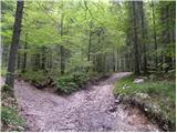 2
2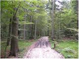 3
3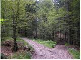 4
4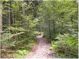 5
5 6
6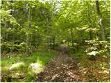 7
7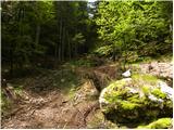 8
8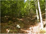 9
9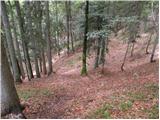 10
10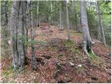 11
11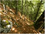 12
12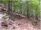 13
13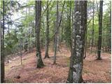 14
14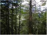 15
15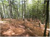 16
16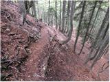 17
17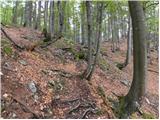 18
18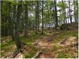 19
19 20
20