Starting point: Kranjska Gora (799 m)
Starting point Lat/Lon: 46.4893°N 13.7853°E 
Time of walking: 30 min
Difficulty: easy unmarked way
Difficulty of skiing: no data
Altitude difference: 156 m
Altitude difference (by path): 156 m
Map: Kranjska Gora 1:30.000
Access to starting point:
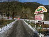
From highway Ljubljana - Jesenice, we go to the exit Jesenice - west (Hrušica), and then we continue driving in the direction of Kranjska Gora. In Kranjska Gora, at the crossroad, where a road branches off to the left towards the mountain pass Vršič, we continue straight, and after the end of the settlement, we need to pay attention, because we will on the right side of the road notice signs for inn Srnjak, which point us to the right through a bridge over the river Sava Dolinka. On the other side of the bridge we park on an appropriate place by the road.
Path description:
From the starting point, we continue on the road which is unnoticeably descending parallel with the river Sava Dolinka. After 100 meters we get to a crossroad, where we continue left and then we quickly get to the forest. When we step into the forest, the road starts moderately ascending, and it soon turns to the left, where it is then ascending diagonally on occasionally quite panoramic slopes (a view opens up on Julian Alps). Higher, the road makes a sharp right turn, and after good 10 minutes of additional walking brings us to the inn Gostilna Srnjak.
Pictures:
 1
1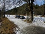 2
2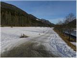 3
3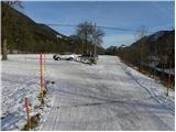 4
4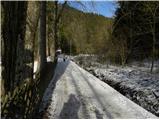 5
5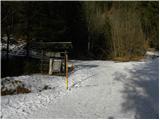 6
6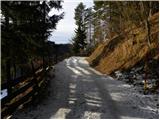 7
7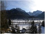 8
8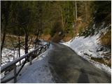 9
9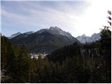 10
10 11
11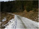 12
12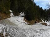 13
13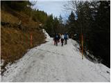 14
14 15
15 16
16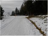 17
17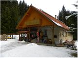 18
18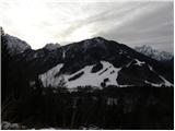 19
19