Kranjski Rak - Gradišče (Velika planina) (below on road)
Starting point: Kranjski Rak (1029 m)
Starting point Lat/Lon: 46.283°N 14.6884°E 
Path name: below on road
Time of walking: 2 h 15 min
Difficulty: easy marked way
Difficulty of skiing: easily
Altitude difference: 637 m
Altitude difference (by path): 637 m
Map: Kamniške in Savinjske Alpe 1:50.000
Access to starting point:
A) First, we drive to Kamnik, and then we continue driving in the direction of the mountain pass Črnivec. Only few 100 meters before the mentioned mountain pass we notice signs for Kranjski Rak, which point us sharply left on a narrow and at first also quite steep road. The road higher flattens and then brings us to mountain pass Volovljek, where near the inn Kranjski Rak we also park (parking in front of the inn is only for guests).
B) From Gornji Grad we drive towards Kamnik, after that only few 100 meters after mountain pass Črnivec we continue right in the direction of Kranjski Rak. Further, we follow the description above.
C) From the valley Savinjska dolina at first we drive to Luče, and then we continue driving towards Kamnik. When we come on the mountain pass Volovljek we park on an appropriate place by inn Kranjski Rak (parking in front of the inn is only for guests).
Path description:
From Kranjski Rak we continue on a macadam road in the direction of Velika planina. The road at first slightly descends, and then passes into the forest, where starts moderately ascending. After approximately half an hour of walking, we come to a little bigger crossroad, where we continue right in the direction of Konjščica and mountain pasture Dol (straight or slightly left mountain pasture Kisovec). The road then brings us to a large parking lot (option for the starting point), and we continue on the forest road which is closed for public traffic. From the parking lot, we follow the mentioned road for approximately 10 minutes, and then blazes point us to the left on a grassy slope, over which leads relatively steep path. Soon the path for a short time flattens, and on the right side bypasses a lonely shepherd hut. Behind the hut path passes into the forest and starts ascending steeply. Higher, we join a wider and less steep path from the mountain pasture Marjanine njive. We follow the mentioned path to the left, and out of the forest it quickly brings us on a grazing area of Mala planina. Here the path entirely flattens and after few minutes of additional walking brings us to marked, but in fog poorly visible crossing. We continue slightly right in the direction of the mountain hut Jarški dom, to which we have 5 minutes of ascent over more and more panoramic slope.
Mentioned mountain hut we bypass on the left side, and then we continue the ascent on a wide path, that is gently ascending through a thin forest. Already after few minutes, the path towards the mountain hut Črnuški dom branches off to the left, and we continue straight and follow a wide path all the way to the mountain hut Domžalski dom na Mali planini.
The path then descends into a smaller valley, where we again step on a wide path (almost road). We continue right and we follow the path to a poorly marked crossing, where the path in the direction of shepherd hut Gradiščkovi branches off to the left. After a short ascent, the path brings us to the mentioned settlement, from which we continue on a poorly visible but marked path. The path ahead leads us past numerous benches, on unvegetated slope moderately upwards. The path soon brings us between two peaks, where we continue slightly right. In the middle of the ascent, we notice a caption chairlift right (left, in the direction of our ascent shepherd settlement). We continue in the direction of chairlift on the path which quickly brings us on the upper slope of Velika planina. Here we continue right on a marked path, which after few steps of ascent brings us on Gradišče.
Pictures:
 1
1 2
2 3
3 4
4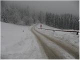 5
5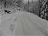 6
6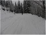 7
7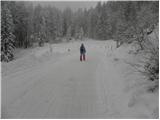 8
8 9
9 10
10 11
11 12
12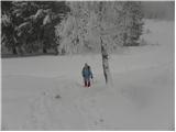 13
13 14
14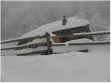 15
15 16
16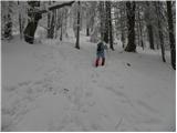 17
17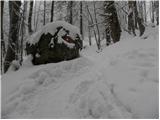 18
18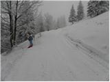 19
19 20
20 21
21 22
22 23
23 24
24 25
25 26
26 27
27 28
28 29
29 30
30 31
31 32
32 33
33 34
34 35
35 36
36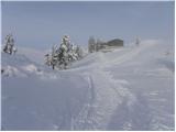 37
37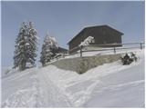 38
38 39
39 40
40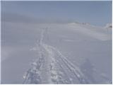 41
41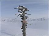 42
42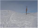 43
43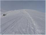 44
44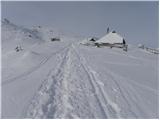 45
45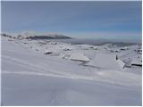 46
46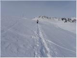 47
47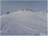 48
48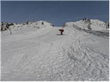 49
49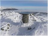 50
50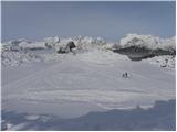 51
51