Križna Gora - Archangel Gabriel (Planica)
Starting point: Križna Gora (705 m)
Starting point Lat/Lon: 46.1993°N 14.2748°E 
Time of walking: 35 min
Difficulty: easy marked way
Difficulty of skiing: no data
Altitude difference: 119 m
Altitude difference (by path): 145 m
Map: Škofjeloško in Cerkljansko hribovje 1:50.000
Access to starting point:
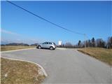
A) From Gorenja vas, Medvode or Kranj we drive to Škofja Loka and we continue driving towards Železniki. When we are still in Škofja Loka we get to the traffic light crossroad, where we turn right in the direction of Križna Gora, Virlog and Moškrin. Immediately, when we leave the main road we get to the settlement Binkelj, and at the next crossroads we follow the signs for Križna Gora. After the settlement Moškrin the road starts ascending steeper, and then somewhere in the middle of the ascent brings us to a smaller crossroad, where we continue right (left - Cavrn). Higher, when we already get to the settlement Križna Gora, at the crossroad we continue right (left - hunting cottage and church of the Holy Cross). Next follows a shorter ascent, and then we get to a nicely settled parking lot, where we park.
B) First, we drive to Železniki, and then we continue driving towards Škofja Loka. In Škofja Loka on one of the traffic light crossroads we continue left in the direction of Križna Gora, Virlog and Moškrin. Immediately, when we leave the main road we get to the settlement Binkelj, and at the next crossroads we follow the signs for Križna Gora. After the settlement Moškrin the road starts ascending steeper, and then somewhere in the middle of the ascent brings us to a smaller crossroad, where we continue right (left - Cavrn). Higher, when we already get to the settlement Križna Gora, at the crossroad we continue right (left - hunting cottage and church of the Holy Cross). Next follows a shorter ascent, and then we get to a nicely settled parking lot, where we park.
Path description:
From the parking lot, we continue on the asphalt road forward towards the north, and in a gentle ascent it leads us on at first panoramic terrain. Behind the nearby last house, the road goes into the forest and past NOB monument brings us to the turning point for buses. Next follows a short easy descent, and then we continue slightly right on a wide cart track, and from there few 10 strides ahead slightly left on a marked mountain path. The path ahead is for some time gently to moderately ascending through the forest and then it brings us out of the forest, where it flattens or even descends a little. Next follows traversing of a panoramic grassy slope, from which a nice view opens up on part of Škofjeloško hribovje. After the panoramic part, the path returns into the forest and starts ascending on a wider cart track. When after few minutes the cart track flattens, we step on an asphalt road, and there past a lonely house we ascend to the summit of Planica, where there is a church of the Archangel Gabriel.
Description and pictures refer to a condition in the year 2015 (March).
Pictures:
 1
1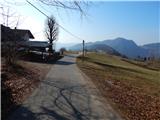 2
2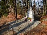 3
3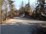 4
4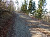 5
5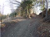 6
6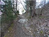 7
7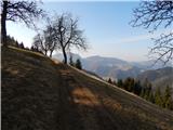 8
8 9
9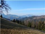 10
10 11
11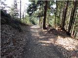 12
12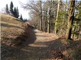 13
13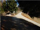 14
14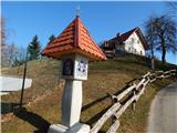 15
15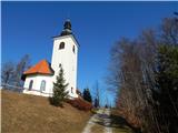 16
16 17
17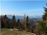 18
18