Križna Gora - Sveti Križ (Križna Gora)
Starting point: Križna Gora (705 m)
Starting point Lat/Lon: 46.1993°N 14.2748°E 
Time of walking: 20 min
Difficulty: easy marked way
Difficulty of skiing: no data
Altitude difference: -25 m
Altitude difference (by path): 30 m
Map: Škofjeloško in Cerkljansko hribovje 1:50.000
Access to starting point:
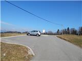
A) From Gorenja vas, Medvode or Kranj we drive to Škofja Loka and we continue driving towards Železniki. When we are still in Škofja Loka we get to the traffic light crossroad, where we turn right in the direction of Križna Gora, Virlog and Moškrin. Immediately, when we leave the main road we get to the settlement Binkelj, and at the next crossroads we follow the signs for Križna Gora. After the settlement Moškrin the road starts ascending steeper, and then somewhere in the middle of the ascent brings us to a smaller crossroad, where we continue right (left - Cavrn). Higher, when we already get to the settlement Križna Gora, at the crossroad we continue right (left - hunting cottage and church of the Holy Cross). Next follows a shorter ascent, and then we get to a nicely settled parking lot, where we park.
B) First, we drive to Železniki, and then we continue driving towards Škofja Loka. In Škofja Loka on one of the traffic light crossroads we continue left in the direction of Križna Gora, Virlog and Moškrin. Immediately, when we leave the main road we get to the settlement Binkelj, and at the next crossroads we follow the signs for Križna Gora. After the settlement Moškrin the road starts ascending steeper, and then somewhere in the middle of the ascent brings us to a smaller crossroad, where we continue right (left - Cavrn). Higher, when we already get to the settlement Križna Gora, at the crossroad we continue right (left - hunting cottage and church of the Holy Cross). Next follows a shorter ascent, and then we get to a nicely settled parking lot, where we park.
Path description:
From the starting point, we return on the road, on which we came to the starting point, and we walk there past a turn-off of the path into Praprotno, to a crossroad in the middle of the village, from where we continue right in the direction of the church and hunting cottage. We continue on a quite panoramic and at first still asphalt road which is gently ascending towards high voltage power line. After the power line, the road flattens, or even descends a little and then from there, a footpath branches off to the left, which leads directly towards the church of the Holy Cross.
We continue on the mentioned footpath which continues parallel with the road and on which in few minutes we get to the already mentioned church.
From the church, from where a nice view opens up, we continue on a well-beaten path which continues a little to the right and it returns on the road which we recently left. When we step on the road, we continue slightly left and in a minute of additional walking, we get to the hunting cottage, which is situated by the edge of the forest.
Description and pictures refer to a condition in the year 2015 (March).
Pictures:
 1
1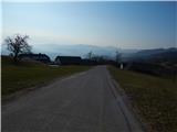 2
2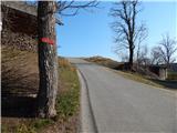 3
3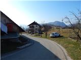 4
4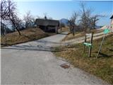 5
5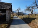 6
6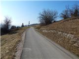 7
7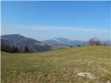 8
8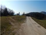 9
9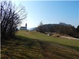 10
10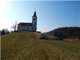 11
11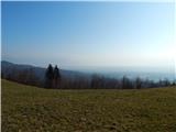 12
12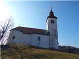 13
13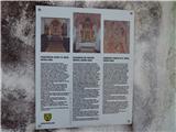 14
14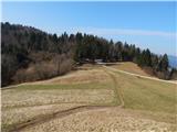 15
15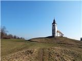 16
16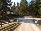 17
17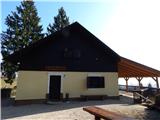 18
18