Kutinica - Humka (Moslavačka gora)
Starting point: Kutinica (143 m)
Time of walking: 1 h 30 min
Difficulty: easy marked way
Difficulty of skiing: no data
Altitude difference: 344 m
Altitude difference (by path): 350 m
Map:
Access to starting point:
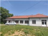
Highway Zagreb-Lipovac we leave at exit Kutina. Through Kutina we go in the direction of Garešnica, Virovitica. When we leave settlement Kutina, in the settlement Kutinska Slatina we turn left in the direction of Katoličke Čaire. When we leave the latter settlement at the unmarked crossroad we continue left (right - town Krajiška Kutinica) and we get to Kutinica. We leave the car at the abandoned school or somewhere else on an appropriate place in the village.
Path description:
From the school we continue forward towards the north, where the path leads us through the village. The orientation at the beginning is easy, because in front of us there is peak Vis with characteristic grassy slopes. Through the village we continue to the spot, where the road starts descending. Here a little hidden signpost points us to the left, where we continue by the meadow upwards. We continue on a cart track which in two hairpin turns rises above the village and takes us into the forest.
The path ahead leads us past a resting place with benches, and behind the fence, the path becomes steeper. Higher, we get to a meadow, where we go also past the feeding site and hunting observatory. After the meadow follows a light descent, and then we for some time continue on a gentle path.
When we get to a crossroad, at which there are cycling signs, the path again starts ascending. The path ahead from the western direction turns on the eastern and it brings us to a crossing, where from the left joins the path from the lake Mikleuška (near the crossing there is also a smaller cottage).
Here, if we continue a minute of walking in the direction of the lake Mikleuška and Bela Crkva, we get to the top of Vis, from which a nice view opens up towards the south, and we go right and we continue on the road.
This part of the path on the road is gentle with few gentle ascents and descents. After the gate the path splits: right - gently sloping path, left - steep path. Higher both paths join, and after a minute of additional walking, we get to Humka.
On the top there are monument and TV tower. The view is veiled by the forest. By the summit there is a smaller cottage, where we can shelter, the interior is locked.
Pictures:
 1
1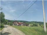 2
2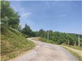 3
3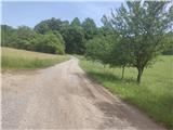 4
4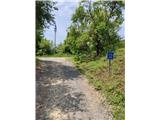 5
5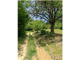 6
6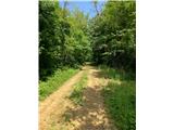 7
7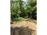 8
8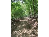 9
9 10
10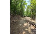 11
11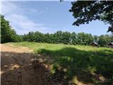 12
12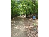 13
13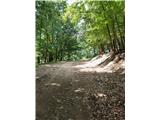 14
14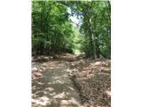 15
15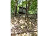 16
16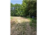 17
17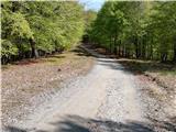 18
18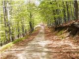 19
19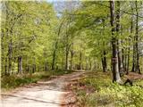 20
20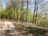 21
21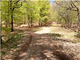 22
22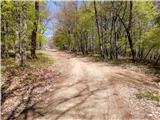 23
23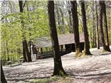 24
24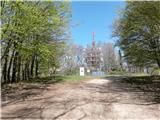 25
25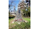 26
26