Kuzma - Planinska koča Rak
Starting point: Kuzma (269 m)
Starting point Lat/Lon: 46.83487°N 16.08083°E 
Time of walking: 1 h
Difficulty: easy marked way
Difficulty of skiing: no data
Altitude difference: 21 m
Altitude difference (by path): 115 m
Map: Pomurje 1:40.000
Access to starting point:
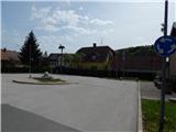
A) From the road Murska Sobota - Hodoš in Gornji Petrovci we turn left towards Kuzma, and then we follow the main road to Kuzma, where in the middle of the settlement, we park on a marked parking lot at the roundabout.
B) We drive to Gederovci (to here from Radenci or Murska Sobota, and then we follow the signs for Kuzma. When we get to Kuzma we park on a settled parking lot at the roundabout.
Path description:
From the roundabout in the center of Kuzma we go on the road towards Austria, and we at first walk on a sidewalk, which leads us below the parish church of St. Damijan and Kozma, and a little ahead we also go past a smaller memory park. After the post office Pošta Slovenije and home for the elderly we leave the main road or sidewalk and we continue slightly left on a side road, by which a little ahead we notice red signposts for mountain hut Planinska koča Rak. Approximately 200 meters ahead we go once again left and we start moderately ascending on a narrower asphalt road. The road leads us on a panoramic slope, and when we reach the edge of the forest, where on the right there is a bench to rest we go left.
Immediately after the crossroad, we notice signs for Pomurje mountain trail, which point us right, but here caution. Next to it there is also additional sign, where it says, that we go right after 80 meters.
So we continue on a cart track, after approximately 80 meters we go right and we continue among fields, where we with nice view descend to another asphalt road which we follow to the right. The road soon brings us to a crossroad with a macadam road, and we go left where also mountain signpost points us to. Here the path again starts visibly ascending, and at the nearby crossroad by few houses, we go left. Further, we are ascending among fields and some houses, and after the last houses, we continue straight on a cart track, on which we ascend into the forest, where we reach another road. We follow the road to the left, and it leads us past a large transmitters. The path ahead leads us also past a smaller hamlet, where the path branches off to the right downwards towards Sotina, and we go straight and we continue walking on the asphalt road, for a short time it is possible also parallel with the road.
At the crossroads, we continue straight and a panoramic path which leads us between occasional houses, then from the road turns left downwards on a grassy cart track. On the cart track, we go past the hunting observatory, and then the path turns a little to the right and past a house quickly brings us to an asphalt road which we follow left downwards, where after few steps we get to sports recreation center Slavček.
After the parking lot of the mentioned center we go right and we continue to the nearby mountain hut Planinski dom Rak or Okrepčevalnica Rak.
Description and pictures refer to a condition in April 2021.
On the way: Gornji Slaveči (260m)
Pictures:
 1
1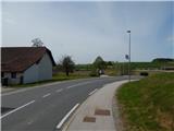 2
2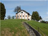 3
3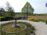 4
4 5
5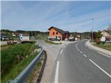 6
6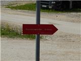 7
7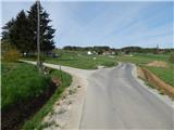 8
8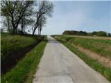 9
9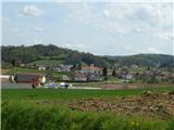 10
10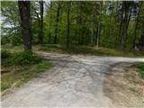 11
11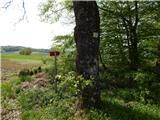 12
12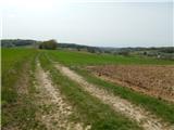 13
13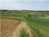 14
14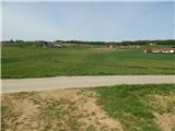 15
15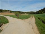 16
16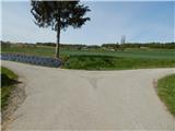 17
17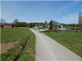 18
18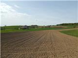 19
19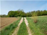 20
20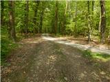 21
21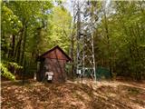 22
22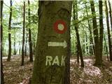 23
23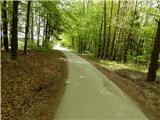 24
24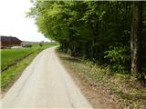 25
25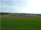 26
26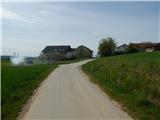 27
27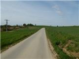 28
28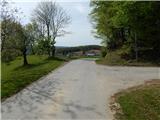 29
29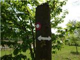 30
30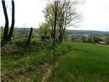 31
31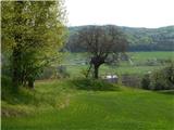 32
32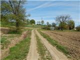 33
33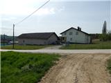 34
34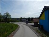 35
35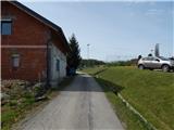 36
36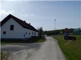 37
37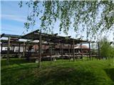 38
38