Ledine - Krekova koča na Ratitovcu (via planina Klom)
Starting point: Ledine (1180 m)
Starting point Lat/Lon: 46.2636°N 14.1064°E 
Path name: via planina Klom
Time of walking: 2 h
Difficulty: easy marked way
Difficulty of skiing: no data
Altitude difference: 462 m
Altitude difference (by path): 530 m
Map: Škofjeloško in Cerkljansko hribovje 1:50.000
Access to starting point:
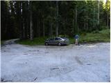
At first, we drive to Škofja Loka, and then we continue driving towards Železniki. In Železniki we continue right in the direction of Dražgoše, and we follow the main road to the village Rudno, where signs for Bohinjska Bistrica point us onto a narrower road which ascends through the village. Behind the village, the road widens and loses its asphalt covering. Further, we drive on a relatively nice and ascending macadam road which we follow approximately 10 km, or to the spot where signs for Ratitovec point us to the left onto a somewhat narrower macadam road. Further, we drive to the next crossroad at which we also park in an appropriate place (by the starting point, there is a signpost for Ratitovec and an information board for the Natura 2000 area).
Path description:
From the crossroad where we parked, we head onto the road in the direction of Ratitovec, and in a few steps we reach a barrier which prevents further driving. The road ahead ascends gently, bypassing the marsh Ledina on Jelovica on the right side. A little further, the road entirely flattens, and the blazes direct us right onto a gently sloping cart track which a little further crosses a wider cart track. We continue in the direction of Ratitovec and continue the path along a gently sloping tractor track, which higher up brings us to an indistinct ridge, where the path turns quite to the right. There follow a few minutes of steeper walking, then the path brings us to a forest road which leads from Prtovča towards Mrzla dolina on Jelovica. We merely cross the mentioned road and continue the ascent on a wide cart track which soon ascends very steeply, then flattens, and in a few minutes of further walking brings us to a marked junction.
We continue right in the direction of the mountain pasture Klom (left Kosmati vrh) and continue the ascent on the path, or cart track, which higher crosses the newly built road leading to the mountain pasture Klom several times. Because of the new road there are several junctions, so we must be careful at all junctions not to miss the marked path. The path higher flattens, then in a short descent brings us to the mountain pasture Klom, on which stands a shepherd's hut.
From the mountain pasture we continue on the marked path, which first ascends moderately, then turns left and gradually flattens. We continue for a short time on a wide rocky cart track, then immediately after crossing the grazing fence, we continue right downwards, where we quickly arrive at an old military bunker. There follows a short gentle ascent and the path brings us to a marked junction, where we continue straight in the direction of Gladki vrh (left downwards cirque Razor, right downwards mountain pasture Pečana). The path splits into two parts immediately after the junction, and we continue on the left marked one (the right is unmarked and gentler), which begins to ascend steeply along the northeastern ridge of Gladki vrh. The path ahead quickly takes us out of the forest, and with ever better views brings us to Gladki vrh.
From Gladki vrh we descend along the marked path, on which in less than 5 minutes of further walking we arrive at Krekova koča na Ratitovcu.
Pictures:
 1
1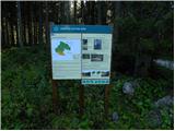 2
2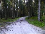 3
3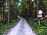 4
4 5
5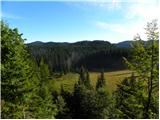 6
6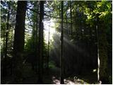 7
7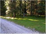 8
8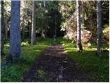 9
9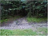 10
10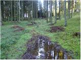 11
11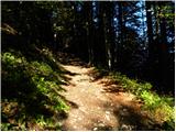 12
12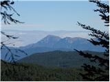 13
13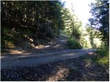 14
14 15
15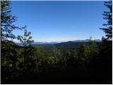 16
16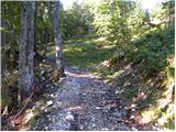 17
17 18
18 19
19 20
20 21
21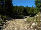 22
22 23
23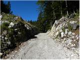 24
24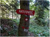 25
25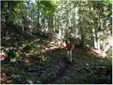 26
26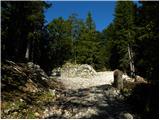 27
27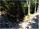 28
28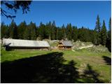 29
29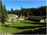 30
30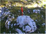 31
31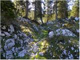 32
32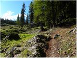 33
33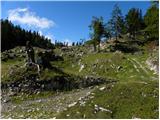 34
34 35
35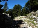 36
36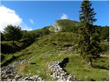 37
37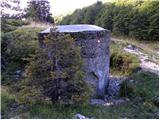 38
38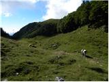 39
39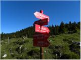 40
40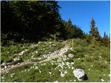 41
41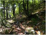 42
42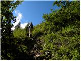 43
43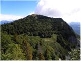 44
44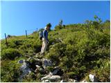 45
45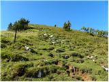 46
46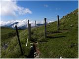 47
47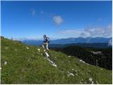 48
48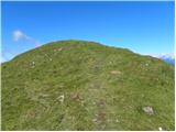 49
49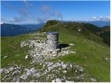 50
50 51
51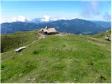 52
52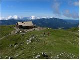 53
53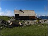 54
54