Legastja - Dom na Govejku
Starting point: Legastja (450 m)
Starting point Lat/Lon: 46.1072°N 14.3498°E 
Time of walking: 50 min
Difficulty: easy marked way
Difficulty of skiing: easily
Altitude difference: 284 m
Altitude difference (by path): 284 m
Map: Ljubljana - okolica 1:50.000
Access to starting point:
From Medvode we drive to the village Sora, from where we continue driving towards the village Topole (Katarina). After few km of driving from the village Sora, we come to the inn Legastja, which is the starting point for our path. We park on one of the smaller parking lots by the road before or after the mentioned gostilno. At the parking lot in front of the inn only guests are allowed to park.
Path description:
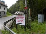
From the starting point, we go on the forest road (direction mountain hut Dom na Govejku), that starts moderately ascending. The path is first ten minutes ascending through the forest and then passes on panoramic grassy slopes, from which a view opens up on surrounding hills. The road then goes again in the forest and after approximately 40 minutes of walking from the starting point brings us to carved passage, where we again come out of the forest (nice view towards St. Jakob). Next follows approximately ten minutes of walking on a moderately steep road and the path brings us to the mountain hut Mihelčičev dom na Govejku.
Pictures:
 1
1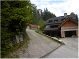 2
2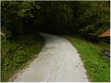 3
3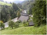 4
4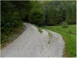 5
5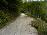 6
6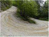 7
7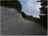 8
8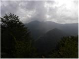 9
9 10
10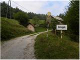 11
11 12
12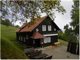 13
13