Lienzer Dolomitenhütte - Weißstein Alm (way 14)
Starting point: Lienzer Dolomitenhütte (1620 m)
Starting point Lat/Lon: 46.7911°N 12.7842°E 
Path name: way 14
Time of walking: 30 min
Difficulty: partly demanding marked way
Difficulty of skiing: more demanding
Altitude difference: 131 m
Altitude difference (by path): 131 m
Map:
Access to starting point:
Through the Karawanks Tunnel, we drive to Austria, and then we continue driving towards Spittal and forward towards Lienz (a little after Spittal highway ends). Further, we drive on a relatively nice and wide road through Drau valley. Few kilometers before Lienz (near the settlement Unterdorf), we will notice signs for mountain hut Lienzer Dolomitenhütte, which point us to the left on a local road. The road then over a bridge crosses the river Drava / Drau and then it brings us in the village Lavant, where we continue right in the direction of village Tristach. Between village Lavant and Tristach we will come to the next crossroad, where we continue left in the direction of "Lienzer Dolomitenhütte". This road which starts ascending steeper we then follow to a large parking lot near mentioned mountain hut. The road is payable (July 2009 7€).
To Lienz we can also come, if instead of through the valley Dravska dolina we drive through the valley Gailtal (Korensko sedlo, Hermagor, mountain pass Ziljsko sedlo/Gailbergsattel), in this case, we get to valley Dravska dolina at settlement Oberdrauburg.
Path description:
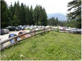
At the end of the parking lot, immediately behind the grazing fence we continue left in the direction of the path 14. The path at first gently ascends on a grassy slope, little higher crosses a cart track and then also a grazing fence. Few minutes of easy walking follows through a lane of a forest and then turns sharply to the right and steeply ascends. Further, we are ascending on a very steep slope, where we get help from a steel cable. The steepness soon decreases, on and the path we run into some smaller stemples, intended for safer step through wet rocks. The path ahead ascends over some overgrown meadows, and then it brings us on a smaller saddle, from which a nice view opens up on surrounding peaks and mountain pasture, to which we have only a short descent.
Pictures:
 1
1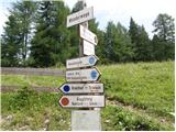 2
2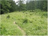 3
3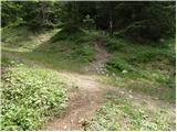 4
4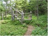 5
5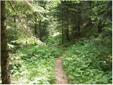 6
6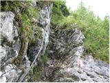 7
7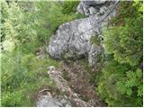 8
8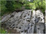 9
9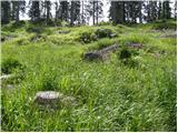 10
10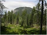 11
11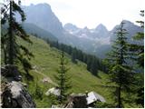 12
12 13
13 14
14