Lipa - Tolsti vrh (Dobrovlje)
Starting point: Lipa (721 m)
Starting point Lat/Lon: 46.2614°N 14.8937°E 
Time of walking: 1 h 40 min
Difficulty: easy marked way
Difficulty of skiing: easily
Altitude difference: 356 m
Altitude difference (by path): 450 m
Map: Zgornja Savinjska dolina 1:50.000
Access to starting point:
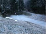
From highway Ljubljana - Celje we go to the exit Vransko. We continue driving on the old road in the direction of Ljubljana, but only to a spot, where the road towards Vransko branches off to the right. On the west side of Vransko we will notice a road which goes towards the village Prapreče and Vologa. The road that starts ascending steeper we follow through the village Vologa to a saddle Lipa, where we park on one of the parking lots.
Possible is also access from the valley Zadrečka dolina.
Path description:
From the saddle Lipa we go on a footpath in the direction of St. Jošt. The path which runs on a cart track at the beginning steeply ascends, after that steepness decreases a little. Next follows a diagonal ascent through the forest on the path which after a little less than 30 minutes of walking gets closer to a forest road which we notice a little above the marked path. Further, we are for some time ascending parallel with the road, and then we join it and we follow it to the right. After few additional strides path brings us out of the forest on panoramic meadows. Here, the path branches off to the left upwards towards the church of St. Gervazij and Protazij to which there is a little less than 3 minutes of walking.
And we continue straight on the road which only a little further brings us to the inscription box at the church of St. Jošt.
After few steps of walking from inscription box we come to a marked crossing, where we continue slightly left in the direction of Tolsti vrh (slightly right Vransko). We continue the ascent on a wide gentle cart track which over a panoramic slope brings us to the edge of the forest, where we come to a smaller unmarked crossing. We continue on the left ascending cart track (right vanishes in grassy meadows), which gradually changes into a forest road. The road then gradually starts descending, and next to it we notice a signpost with the caption "sprememba poti - preko Paglavcev" (changed path - via Paglavci). A well-marked road, that runs through the forest then soon brings us to NOB monument. The road only a little further comes out of the forest, where we come to the next crossroad, where we continue left in the direction of Tolsti vrh. Only few steps ahead road splits into two parts. We continue slightly left on the road which quickly changes into a cart track. Ahead we get to labyrinth of cart tracks, but if we carefully follow the blazes we can't miss. Cart track then passes into a dense forest and eventually turns sharply right. Cart track then ascends a little steeper and starts turning to the left. And only a little ahead frequent trail blazes point us to the right on a little worse beaten footpath which in a short ascent quickly brings us on Tolsti vrh.
Only few steps below the summit on the left side a nice view opens up on Kamnik Savinja Alps, and from the right joins the path from the mountain hut Dom na Čreti.
Lipa - Sveti Jošt 35 minutes, Sveti Jošt - Tolsti vrh 1:05.
Pictures:
 1
1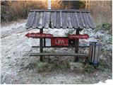 2
2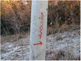 3
3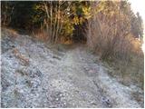 4
4 5
5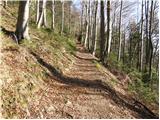 6
6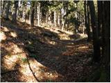 7
7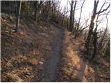 8
8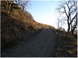 9
9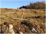 10
10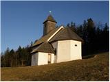 11
11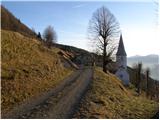 12
12 13
13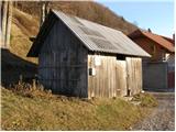 14
14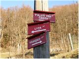 15
15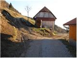 16
16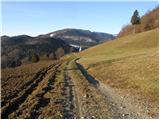 17
17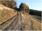 18
18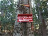 19
19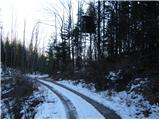 20
20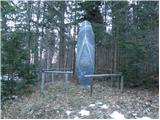 21
21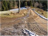 22
22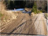 23
23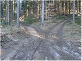 24
24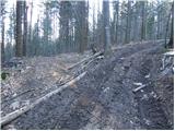 25
25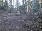 26
26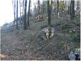 27
27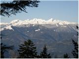 28
28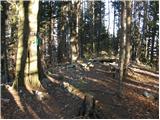 29
29