Starting point: Lipa (380 m)
Starting point Lat/Lon: 45.8492°N 13.7033°E 
Time of walking: 40 min
Difficulty: easy marked way
Difficulty of skiing: no data
Altitude difference: 263 m
Altitude difference (by path): 263 m
Map: Goriška 1:50.000
Access to starting point:
From highway Razdrto – Nova Gorica we go to the exit Selo, and then we follow the road towards eponymous village. From Selo we descend in Dornberk, and there in first larger crossroad we continue left towards Sežana. The mentioned road, we follow only few 10 meters and then we continue right on a narrower road in the direction of village Lipa, Škrbina and Kostanjevica na Krasu. Higher, the road leads us over the mountain pass Železna vrata, and then it brings us to a crossroad, where we continue right towards the village Lipa (left downwards Šibelji and Škrbina). Even a little further, we notice signs for village Lipa, which point us to the right in the center of the village, where below the church we also park.
Path description:
At the starting point, we notice signs for Trstelj, which point us to the left on a footpath which ascends by the right side of the wall of the nearby church. Soon above the church or cemetery footpath goes into a lane of bushes, where it gradually starts moderately ascending. Well marked and occasionally a little steeper path, higher passes into partly pine forest and then it joins the macadam road which we follow to the right. The road which is in the last part also paved with asphalt, we then follow all the way to the mountain hut Stjenkova koča on Trstelj.
From the mountain hut, we go left in the direction of the peak and we continue the ascent on a pleasant footpath which ascends through a lane of thin forest. Only a little higher we join a wide cart track, on which in few 10 strides of additional walking, we get to the top of Trstelj.
Pictures:
 1
1 2
2 3
3 4
4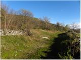 5
5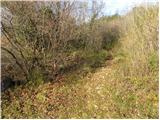 6
6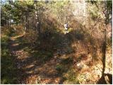 7
7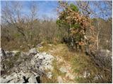 8
8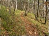 9
9 10
10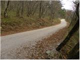 11
11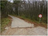 12
12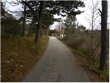 13
13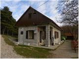 14
14 15
15 16
16 17
17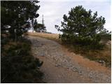 18
18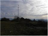 19
19 20
20